
Magnitude |
:2.8 |
| Date & Time (UTC) | 2014-10-18 23:31:44.6 |
| Date & Time (Local) | 1393/7/27 03:01:44.6 |
| Location | Lat:35.96 Lon: 52.99 |
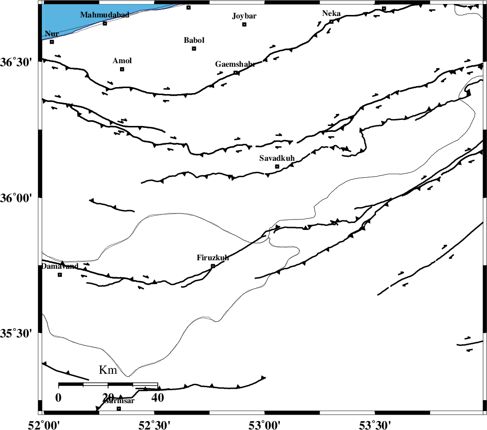
| Region | Mazandaran Province, 18 km South of Pol-E-Sefid |
Nearest Cities |
|
| 15 km South of Elahband, Mazandaran Province | |
| 16 km South of Shurmast-e peyrudbar, Mazandaran Province | |
| 18 km South of Pol-E-Sefid, Mazandaran Province | |
| 19 km South East of Alasht, Mazandaran Province | |
| 24 km South of Zirab, Mazandaran Province | |
| Depth | 8 km |
| Agency | |
Faults within 150 km: |
|
| N_ALBORZ_F (Length: 360 km) , Distance to epicenter: 26 km | |
| ATARI_F (Length: 185 km) , Distance to epicenter: 29 km | |
| MOSHA_F (Length: 234 km) , Distance to epicenter: 43 km | |
| Number of Phases | 7 |
| RMS | 0.3 |
| Number of Stations | 6 |
| Error in Latitude | >8.9 km |
| Error in Longitude | 5.2 km |
| Error in Depth | 8.7 km |
Download waveform in seisan format
to download seisan software Click here
to access information about IIEES stations Click here
Amplitude | ||||||||
| UID | Agency | Station | Component | Amplitude | Period | Arrival Time | Proccessing Time | Signal Clip |
| 94003 | IIEES | GHVR | N | 83 | 0.34 | 2014-10-18 23:32:55 | 2014-10-19 11:25:00 | n |
| 94004 | IIEES | GHVR | E | 71 | 0.57 | 2014-10-18 23:32:56 | 2014-10-19 11:25:00 | n |
Phase | ||||||||||||
| Agency | Station | Component | Phase Type | Phase Quality | First Motion | Observed Arrival Time | Time Residual | Loc. Flag | Input Weight | Distance | Azimuth | |
| IIEES | DAMV | Z | Pg | E | 2014-10-18 23:32:01 | -0.23 | y | 99.4 | 249 | |||
| IIEES | DAMV | E | Sg | E | 2014-10-18 23:32:14 | 0.1 | y | 99.4 | 249 | |||
| IIEES | CHTH | Z | Pg | E | 2014-10-18 23:32:13 | -0.3 | y | 169 | 269 | |||
| IIEES | THKV | N | Sg | E | 2014-10-18 23:32:42 | 0.43 | y | 191 | 269 | |||
| IIEES | GHVR | Z | Pn | E | 2014-10-18 23:32:21 | 0.03 | y | 229 | 225 | |||
| IIEES | ASAO | Z | Pn | E | 2014-10-18 23:32:31 | -0.36 | y | 312 | 241 | |||
| IIEES | TABS | Z | Pn | E | 2014-10-18 23:32:50 | 0.43 | y | 456 | 123 | |||