
Magnitude |
:3.3 |
| Date & Time (UTC) | 2014-07-01 15:42:46.3 |
| Date & Time (Local) | 1393/4/10 20:12:46.3 |
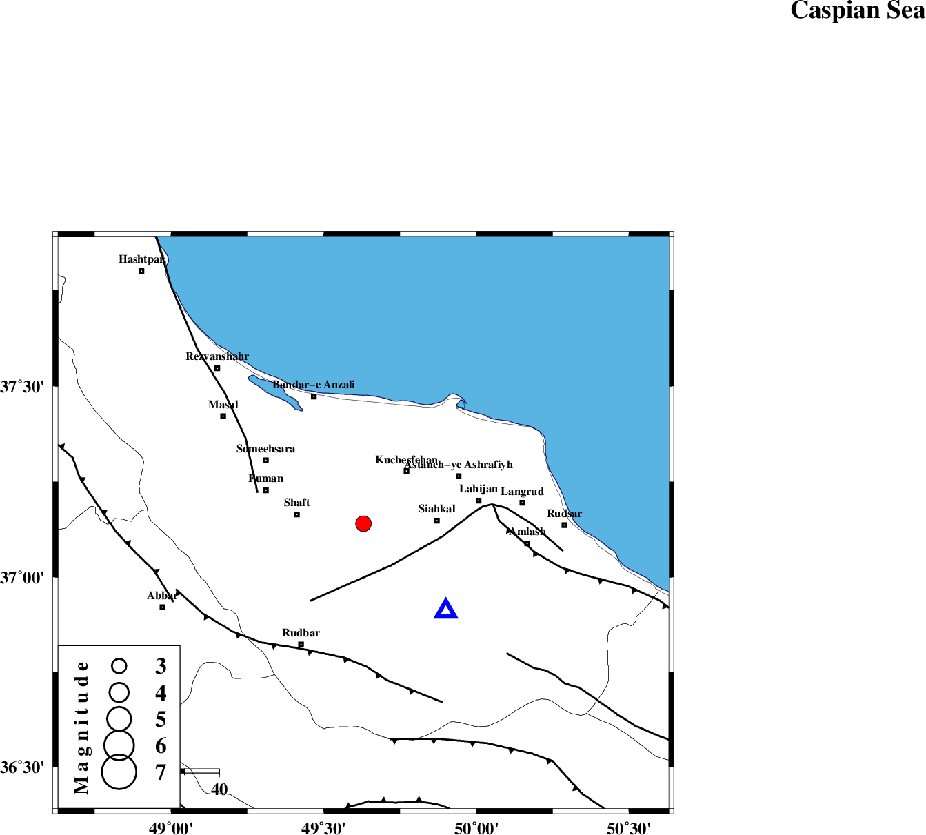
| Location | Lat:37.14 Lon: 49.63 |
| Region | Gilan Province, 16 km South of Rasht |
Nearest Cities |
|
| 5 km of Sangar, Gilan Province | |
| 6 km North of Jirdeh, Gilan Province | |
| 7 km North of Eslamabad, Gilan Province | |
| 8 km North of Saravan, Gilan Province | |
| 8 km of Lakan, Gilan Province | |
| Depth | 14 km |
| Agency | |
Faults within 150 km: |
|
| LAHIJAN_F (Length: 92 km) , Distance to epicenter: 15 km | |
| TALESH_F (Length: 258 km) , Distance to epicenter: 32 km | |
| KHAZAR_F (Length: 523 km) , Distance to epicenter: 38 km | |
| Number of Phases | 6 |
| RMS | 0.3 |
| Number of Stations | 5 |
| Error in Latitude | >5.8 km |
| Error in Longitude | 5.5 km |
| Error in Depth | 8.5 km |
Download waveform in seisan format
to download seisan software Click here
to access information about IIEES stations Click here
Amplitude | ||||||||
| UID | Agency | Station | Component | Amplitude | Period | Arrival Time | Proccessing Time | Signal Clip |
| 92712 | IIEES | THKV | N | 331.2 | 0.28 | 2014-07-01 15:43:40 | 2014-07-01 05:03:00 | n |
Phase | ||||||||||||
| Agency | Station | Component | Phase Type | Phase Quality | First Motion | Observed Arrival Time | Time Residual | Loc. Flag | Input Weight | Distance | Azimuth | |
| IIEES | ZNJK | Z | Pg | E | 2014-07-01 15:43:03 | -0.16 | y | 98.8 | 239 | |||
| IIEES | THKV | Z | Pn | E | 2014-07-01 15:43:15 | -0.45 | y | 176 | 140 | |||
| IIEES | THKV | N | Sg | E | 2014-07-01 15:43:36 | 0.07 | y | 176 | 140 | |||
| IIEES | CHTH | Z | Pn | E | 2014-07-01 15:43:17 | 0.05 | y | 191 | 135 | |||
| IIEES | GRMI | Z | Pn | E | 2014-07-01 15:43:24 | 0.11 | y | 240 | 321 | |||
| IIEES | ASAO | Z | Pn | E | 2014-07-01 15:43:30 | 0.41 | y | 289 | 173 | |||