
Magnitude |
:3.2 |
| Date & Time (UTC) | 2014-06-16 08:20:43.9 |
| Date & Time (Local) | 1393/3/26 12:50:43.9 |
| Location | Lat:35.63 Lon: 54.27 |
| Region | Semnan Province, 61 km South of Damghan |
Nearest Cities |
|
| 46 km South East of Amirabad, Semnan Province | |
| 49 km South East of Seydabad, Semnan Province | |
| 52 km South East of Darvar, Semnan Province | |
| 60 km South of Damghan, Semnan Province | |
| 70 km South West of Mehmandust, Semnan Province | |
| Depth | 16 km |
| Agency | |
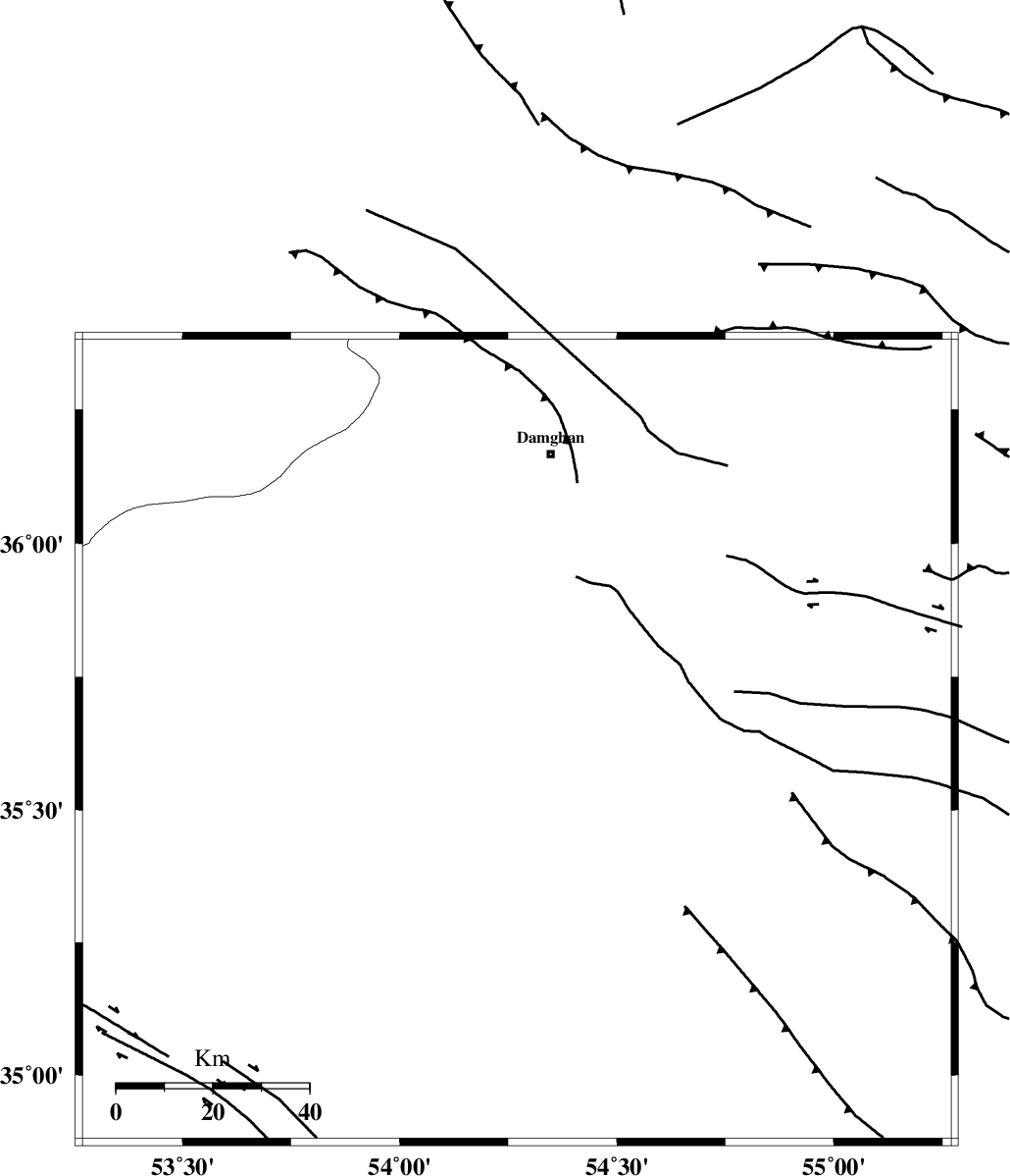
Faults within 150 km: |
|
| TORUD_F (Length: 136 km) , Distance to epicenter: 43 km | |
| ATARI_F (Length: 185 km) , Distance to epicenter: 48 km | |
| DAMGHAN_F (Length: 95 km) , Distance to epicenter: 64 km | |
| Number of Phases | 7 |
| RMS | 0.1 |
| Number of Stations | 6 |
| Error in Latitude | >4.7 km |
| Error in Longitude | 2.6 km |
| Error in Depth | 9.1 km |
Download waveform in seisan format
to download seisan software Click here
to access information about IIEES stations Click here
Amplitude | ||||||||
| UID | Agency | Station | Component | Amplitude | Period | Arrival Time | Proccessing Time | Signal Clip |
| 92620 | IIEES | THKV | N | 135.9 | 0.64 | 2014-06-16 08:22:14 | 2014-06-16 09:51:00 | n |
| 92621 | IIEES | THKV | E | 69.9 | 0.49 | 2014-06-16 08:22:18 | 2014-06-16 09:51:00 | n |
| 92622 | IIEES | TABS | N | 58.6 | 0.65 | 2014-06-16 08:22:29 | 2014-06-16 09:51:00 | n |
Phase | ||||||||||||
| Agency | Station | Component | Phase Type | Phase Quality | First Motion | Observed Arrival Time | Time Residual | Loc. Flag | Input Weight | Distance | Azimuth | |
| IIEES | SHRO | Z | Pg | E | 2014-06-16 08:21:10 | -0.05 | y | 164 | 74 | |||
| IIEES | SHRO | E | Sg | E | 2014-06-16 08:21:30 | 0.05 | y | 164 | 74 | |||
| IIEES | GHVR | Z | Pn | E | 2014-06-16 08:21:29 | -0.07 | y | 303 | 246 | |||
| IIEES | THKV | Z | Pn | E | 2014-06-16 08:21:29 | 0.04 | y | 308 | 277 | |||
| IIEES | TABS | Z | Pn | E | 2014-06-16 08:21:33 | -0.26 | y | 341 | 129 | |||
| IIEES | YZKH | Z | Pn | E | 2014-06-16 08:21:36 | 0.18 | y | 360 | 175 | |||
| IIEES | SHRT | Z | Pn | E | 2014-06-16 08:22:05 | 0.18 | y | 594 | 110 | |||