
Magnitude |
:1.7 |
| Date & Time (UTC) | 2014-05-26 16:33:36.5 |
| Date & Time (Local) | 1393/3/5 21:03:36.5 |
| Location | Lat:35.64 Lon: 51.97 |
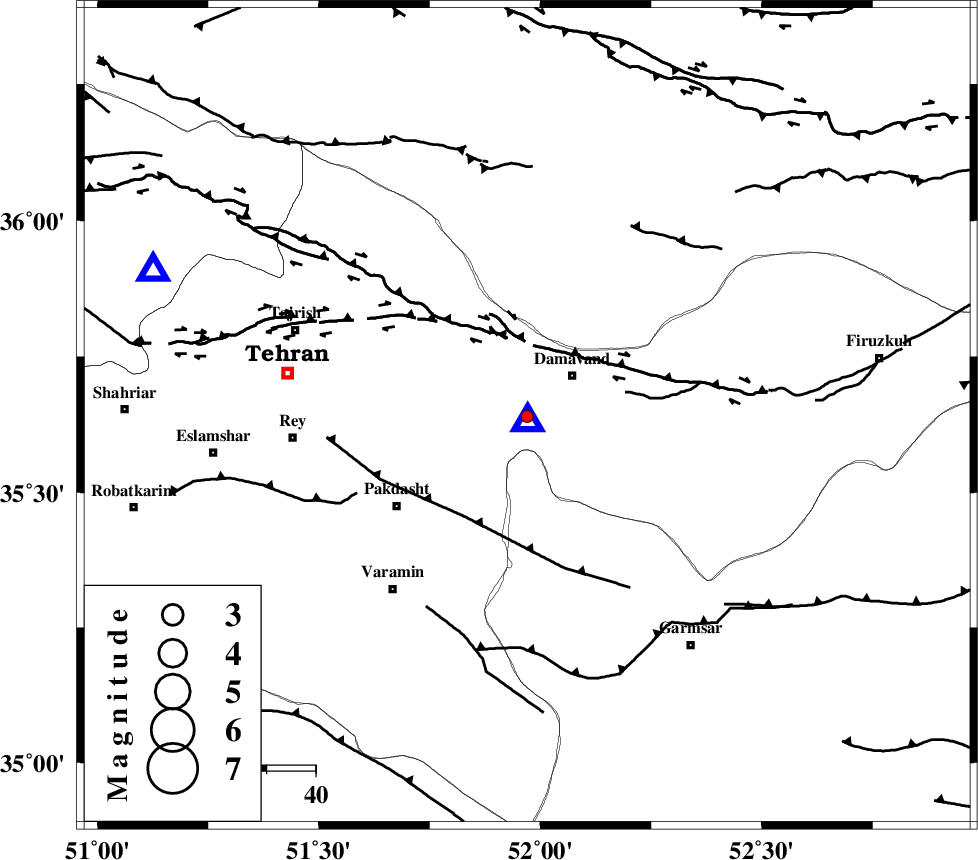
| Region | Tehran Province, 13 km West of Damavand |
Nearest Cities |
|
| 4 km of Ab sard, Tehran Province | |
| 12 km West of Damavand, Tehran Province | |
| 14 km of Rudehen, Tehran Province | |
| 14 km South of Abali, Tehran Province | |
| 15 km South East of Bumehen, Tehran Province | |
| Depth | 16 km |
| Agency | |
Faults within 150 km: |
|
| MOSHA_F (Length: 234 km) , Distance to epicenter: 15 km | |
| EYVANEKEY_F (Length: 74 km) , Distance to epicenter: 24 km | |
| N_TEHRAN_F4 (Length: 115 km) , Distance to epicenter: 27 km | |
| Number of Phases | 5 |
| RMS | 0.4 |
| Number of Stations | 4 |
| Error in Latitude | >4.9 km |
| Error in Longitude | 6.2 km |
| Error in Depth | 5.9 km |
Download waveform in seisan format
to download seisan software Click here
to access information about IIEES stations Click here
Amplitude | ||||||||
| UID | Agency | Station | Component | Amplitude | Period | Arrival Time | Proccessing Time | Signal Clip |
| 92515 | IIEES | ASAO | E | 5.9 | 0.44 | 2014-05-26 16:34:39 | 2014-05-26 06:00:00 | n |
| 92516 | IIEES | ASAO | N | 6.7 | 0.4 | 2014-05-26 16:34:39 | 2014-05-26 06:00:00 | n |
Phase | ||||||||||||
| Agency | Station | Component | Phase Type | Phase Quality | First Motion | Observed Arrival Time | Time Residual | Loc. Flag | Input Weight | Distance | Azimuth | |
| IIEES | DAMV | Z | Pg | E | 2014-05-26 16:33:39 | 0.15 | y | 1.11 | 166 | |||
| IIEES | CHTH | Z | Pg | E | 2014-05-26 16:33:50 | -0.62 | y | 81.7 | 292 | |||
| IIEES | THKV | E | Sg | E | 2014-05-26 16:34:07 | 0.38 | y | 103 | 288 | |||
| IIEES | ASAO | Z | Pn | E | 2014-05-26 16:34:11 | 0.23 | y | 215 | 236 | |||
| IIEES | ASAO | N | Sg | E | 2014-05-26 16:34:37 | -0.14 | y | 215 | 236 | |||