
Magnitude |
:3.1 |
| Date & Time (UTC) | 2014-04-11 23:31:27.6 |
| Date & Time (Local) | 1393/1/23 04:01:27.6 |
| Location | Lat:28.8 Lon: 56.55 |
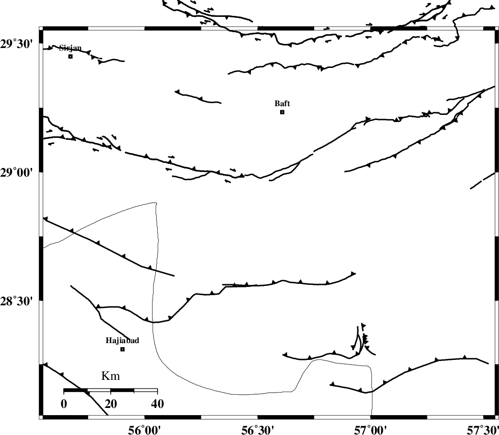
| Region | Kerman Province, 49 km South of Baft |
Nearest Cities |
|
| 19 km South of Kashkueyeh, Kerman Province | |
| 41 km North East of Shahmaran, Kerman Province | |
| 44 km North East of Arzuieeh, Kerman Province | |
| 49 km South of Baft, Kerman Province | |
| 53 km North West of Dolatabad, Kerman Province | |
| Depth | 14 km |
| Agency | |
Faults within 150 km: |
|
| MAIN_ZAGROS_R_F (Length: 1106 km) , Distance to epicenter: 65 km | |
| LALEHZAR_F (Length: 52 km) , Distance to epicenter: 75 km | |
| HZF2 (Length: 437 km) , Distance to epicenter: 100 km | |
| Number of Phases | 4 |
| RMS | 0.1 |
| Number of Stations | 3 |
| Error in Latitude | >4.9 km |
| Error in Longitude | 5.9 km |
| Error in Depth | 6.8 km |
Download waveform in seisan format
to download seisan software Click here
to access information about IIEES stations Click here
Amplitude | ||||||||
| UID | Agency | Station | Component | Amplitude | Period | Arrival Time | Proccessing Time | Signal Clip |
| 92201 | IIEES | KRBR | N | 432.8 | 0.8 | 2014-04-11 23:32:11 | 2014-04-12 03:35:00 | n |
| 92202 | IIEES | KRBR | E | 302.9 | 0.24 | 2014-04-11 23:32:12 | 2014-04-12 03:35:00 | n |
Phase | ||||||||||||
| Agency | Station | Component | Phase Type | Phase Quality | First Motion | Observed Arrival Time | Time Residual | Loc. Flag | Input Weight | Distance | Azimuth | |
| IIEES | KRBR | Z | Pg | E | 2014-04-11 23:31:49 | -0.15 | y | 133 | 9 | |||
| IIEES | KRBR | E | Sg | E | 2014-04-11 23:32:06 | 0.04 | y | 133 | 9 | |||
| IIEES | BSRN | Z | Pn | E | 2014-04-11 23:32:28 | 0.08 | y | 429 | 35 | |||
| IIEES | YZKH | Z | Pn | E | 2014-04-11 23:32:30 | 0.06 | y | 440 | 335 | |||