
Magnitude |
:2.5 |
| Date & Time (UTC) | 2013-12-10 15:23:57.3 |
| Date & Time (Local) | 1392/9/19 18:53:57.3 |
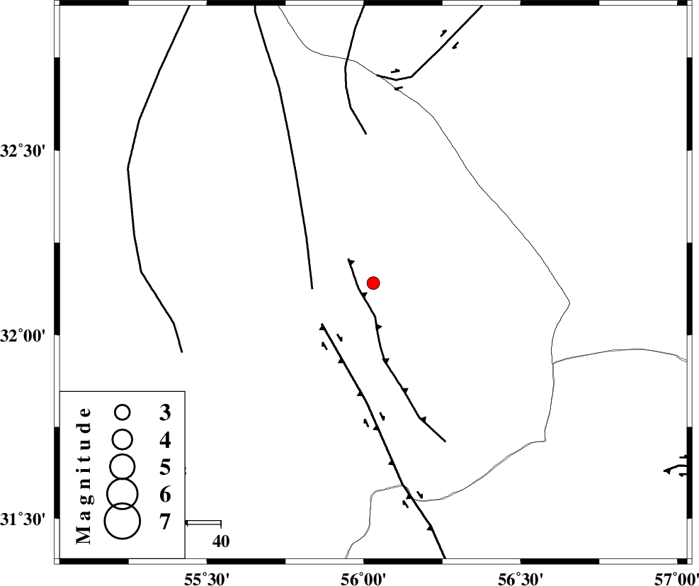
| Location | Lat:32.14 Lon: 56.03 |
| Region | Yazd Province, 85 km North-East of Bafq |
Nearest Cities |
|
| 30 km North of Behabad, Yazd Province | |
| 45 km North of Benestan, Yazd Province | |
| 50 km North East of Kushk, Yazd Province | |
| 56 km North West of Asfih, Yazd Province | |
| 74 km North of Basab, Yazd Province | |
| Depth | 14 km |
| Agency | |
Faults within 150 km: |
|
| JAFARABAD_F (Length: 60 km) , Distance to epicenter: 5 km | |
| SARBALA_F (Length: 92 km) , Distance to epicenter: 18 km | |
| KUHBANAN_F (Length: 189 km) , Distance to epicenter: 20 km | |
| Number of Phases | 4 |
| RMS | 0 |
| Number of Stations | 3 |
| Error in Latitude | >1.2 km |
| Error in Longitude | 2.1 km |
| Error in Depth | 4 km |
Download waveform in seisan format
to download seisan software Click here
to access information about IIEES stations Click here
Amplitude | ||||||||
| UID | Agency | Station | Component | Amplitude | Period | Arrival Time | Proccessing Time | Signal Clip |
| 91175 | IIEES | YZKH | E | 84.5 | 0.44 | 2013-12-10 15:24:37 | 2013-12-10 03:44:00 | n |
Phase | ||||||||||||
| Agency | Station | Component | Phase Type | Phase Quality | First Motion | Observed Arrival Time | Time Residual | Loc. Flag | Input Weight | Distance | Azimuth | |
| IIEES | YZKH | Z | Pg | E | 2013-12-10 15:24:20 | 0 | y | 138 | 282 | |||
| IIEES | TABS | Z | Pg | E | 2013-12-10 15:24:29 | 0 | y | 196 | 31 | |||
| IIEES | KRBR | Z | Pn | E | 2013-12-10 15:24:36 | 0 | y | 249 | 164 | |||
| IIEES | KRBR | E | Sg | E | 2013-12-10 15:25:07 | 0 | y | 249 | 164 | |||