
Magnitude |
:2.8 |
| Date & Time (UTC) | 2013-02-21 02:08:25.6 |
| Date & Time (Local) | 1391/12/3 05:38:25.6 |
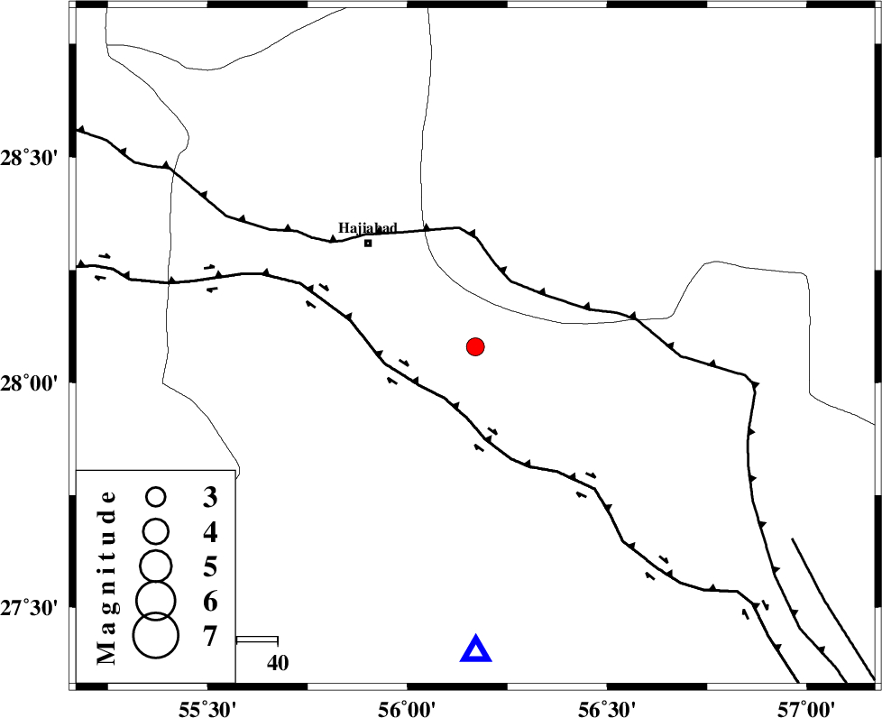
| Location | Lat:28.08 Lon: 56.17 |
| Region | Hormozgan Province, 37 km South-East of Hajiabad |
Nearest Cities |
|
| 9 km North of Fareqan, Hormozgan Province | |
| 37 km South East of Hajiabad, Hormozgan Province | |
| 44 km South West of Arzuieeh, Kerman Province | |
| 47 km South West of Shahmaran, Kerman Province | |
| 56 km North East of Fin, Hormozgan Province | |
| Depth | 17 km |
| Agency | |
Faults within 150 km: |
|
| HZF2 (Length: 437 km) , Distance to epicenter: 15 km | |
| MAIN_ZAGROS_R_F (Length: 1106 km) , Distance to epicenter: 18 km | |
| ZENDAN_MINAB_F_Z1 (Length: 183 km) , Distance to epicenter: 91 km | |
| Number of Phases | 4 |
| RMS | 0 |
| Number of Stations | 3 |
| Error in Latitude | >5.2 km |
| Error in Longitude | 2.9 km |
| Error in Depth | 10.1 km |
Download waveform in seisan format
to download seisan software Click here
to access information about IIEES stations Click here
Amplitude | ||||||||
| UID | Agency | Station | Component | Amplitude | Period | Arrival Time | Proccessing Time | Signal Clip |
| 87983 | IIEES | KRBR | E | 67.8 | 0.32 | 2013-02-21 02:09:37 | 2013-02-21 03:25:00 | n |
Phase | ||||||||||||
| Agency | Station | Component | Phase Type | Phase Quality | First Motion | Observed Arrival Time | Time Residual | Loc. Flag | Input Weight | Distance | Azimuth | |
| IIEES | KRBR | Z | Pn | E | 2013-02-21 02:09:00 | 0 | y | 219 | 15 | |||
| IIEES | KRBR | N | Sg | E | 2013-02-21 02:09:27 | 0 | y | 219 | 15 | |||
| IIEES | GHIR | Z | P | E | 2013-02-21 02:09:12 | 0 | y | 313 | 275 | |||
| IIEES | ZHSF | Z | Pn | E | 2013-02-21 02:09:32 | 0 | y | 480 | 68 | |||