
Magnitude |
:2.7 |
| Date & Time (UTC) | 2013-01-22 04:20:21.2 |
| Date & Time (Local) | 1391/11/3 07:50:21.2 |
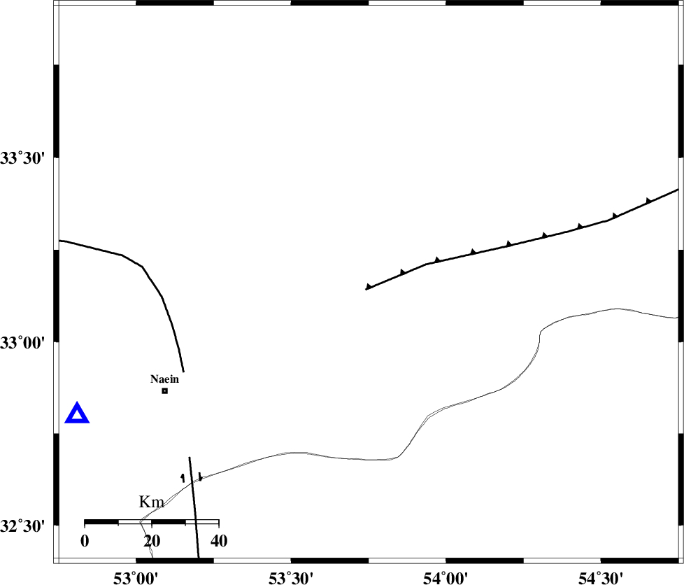
| Location | Lat:33.16 Lon: 53.75 |
| Region | Esfahan Province, 70 km North-East of Nain |
Nearest Cities |
|
| 18 km South of Anarak, Esfahan Province | |
| 66 km South East of Maedan, Esfahan Province | |
| 67 km North East of Baferan, Esfahan Province | |
| 70 km North East of Nain, Esfahan Province | |
| 77 km South West of Chupanan, Esfahan Province | |
| Depth | 14 km |
| Agency | |
Faults within 150 km: |
|
| BIABANAK_F (Length: 162 km) , Distance to epicenter: 2 km | |
| CHAH_ZANGUL_F (Length: 123 km) , Distance to epicenter: 60 km | |
| SHAHR_E_BABAK_F1 (Length: 392 km) , Distance to epicenter: 75 km | |
| Number of Phases | 5 |
| RMS | 0.1 |
| Number of Stations | 4 |
| Error in Latitude | >1.5 km |
| Error in Longitude | 8.3 km |
| Error in Depth | 5.7 km |
Download waveform in seisan format
to download seisan software Click here
to access information about IIEES stations Click here
Amplitude | ||||||||
| UID | Agency | Station | Component | Amplitude | Period | Arrival Time | Proccessing Time | Signal Clip |
| 87662 | IIEES | KRBR | N | 10.3 | 0.47 | 2013-01-22 04:22:40 | 2013-01-22 09:21:00 | n |
Phase | ||||||||||||
| Agency | Station | Component | Phase Type | Phase Quality | First Motion | Observed Arrival Time | Time Residual | Loc. Flag | Input Weight | Distance | Azimuth | |
| IIEES | YZKH | Z | Pg | E | 2013-01-22 04:20:40 | 0.06 | y | 117 | 137 | |||
| IIEES | YZKH | N | Sg | E | 2013-01-22 04:20:55 | -0.1 | y | 117 | 137 | |||
| IIEES | TABS | Z | Pn | E | 2013-01-22 04:21:08 | 0.23 | y | 318 | 79 | |||
| IIEES | SHRO | Z | Pn | E | 2013-01-22 04:21:15 | -0.18 | y | 378 | 33 | |||
| IIEES | SHRO | N | Sg | E | 2013-01-22 04:22:06 | -0.02 | y | 378 | 33 | |||