
Magnitude |
:4 |
| Date & Time (UTC) | 2012-12-18 02:53:53.9 |
| Date & Time (Local) | 1391/9/28 06:23:53.9 |
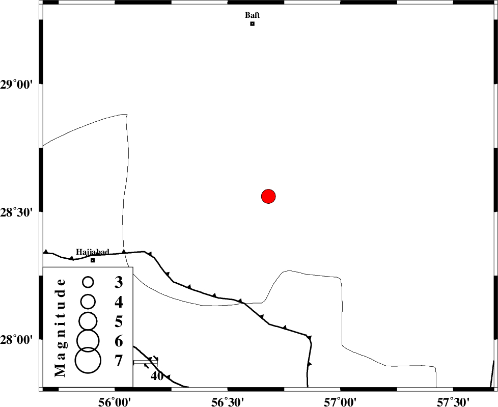
| Location | Lat:28.56 Lon: 56.68 |
| Region | Kerman Province, 75 km South of Baft |
Nearest Cities |
|
| 31 km North West of Sarkhan, Kerman Province | |
| 31 km North East of Shahmaran, Kerman Province | |
| 34 km North East of Arzuieeh, Kerman Province | |
| 43 km South West of Dolatabad, Kerman Province | |
| 45 km South of Kashkueyeh, Kerman Province | |
| Depth | 14 km |
| Agency | |
Faults within 150 km: |
|
| MAIN_ZAGROS_R_F (Length: 1106 km) , Distance to epicenter: 47 km | |
| HZF2 (Length: 437 km) , Distance to epicenter: 88 km | |
| SABZEVARAN_F (Length: 190 km) , Distance to epicenter: 101 km | |
| Number of Phases | 6 |
| RMS | 0.2 |
| Number of Stations | 5 |
| Error in Latitude | >5.8 km |
| Error in Longitude | 6.1 km |
| Error in Depth | 8.4 km |
Download waveform in seisan format
to download seisan software Click here
to access information about IIEES stations Click here
Amplitude | ||||||||
| UID | Agency | Station | Component | Amplitude | Period | Arrival Time | Proccessing Time | Signal Clip |
| 87362 | IIEES | KRBR | E | 2391.5 | 0.52 | 2012-12-18 02:54:48 | 2012-12-18 04:10:00 | n |
Phase | ||||||||||||
| Agency | Station | Component | Phase Type | Phase Quality | First Motion | Observed Arrival Time | Time Residual | Loc. Flag | Input Weight | Distance | Azimuth | |
| IIEES | KRBR | Z | Pg | E | 2012-12-18 02:54:19 | -0.29 | y | 158 | 3 | |||
| IIEES | KRBR | E | Sg | E | 2012-12-18 02:54:39 | 0.13 | y | 158 | 3 | |||
| IIEES | ZHSF | Z | Pn | E | 2012-12-18 02:54:53 | 0.1 | y | 416 | 73 | |||
| IIEES | YZKH | Z | Pn | E | 2012-12-18 02:55:00 | 0.25 | y | 469 | 335 | |||
| IIEES | TABS | Z | Pn | E | 2012-12-18 02:55:11 | -0.19 | y | 566 | 4 | |||
| IIEES | SHRT | Z | Pn | E | 2012-12-18 02:55:23 | 0.06 | y | 661 | 31 | |||