
Magnitude |
:3.2 |
| Date & Time (UTC) | 2012-11-06 21:31:29.8 |
| Date & Time (Local) | 1391/8/17 01:01:29.8 |
| Location | Lat:28.14 Lon: 55.85 |
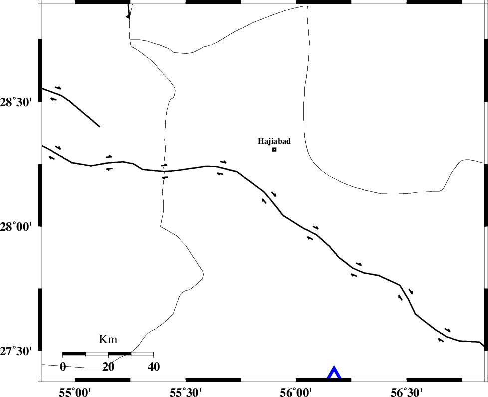
| Region | Hormozgan Province, 20 km South of Hajiabad |
Nearest Cities |
|
| 19 km South of Hajiabad, Hormozgan Province | |
| 40 km North West of Fareqan, Hormozgan Province | |
| 52 km North East of Darz, Fars Province | |
| 56 km North of Fin, Hormozgan Province | |
| 60 km South West of Arzuieeh, Kerman Province | |
| Depth | 15 km |
| Agency | |
Faults within 150 km: |
|
| HZF2 (Length: 437 km) , Distance to epicenter: 1 km | |
| MAIN_ZAGROS_R_F (Length: 1106 km) , Distance to epicenter: 19 km | |
| HZF1 (Length: 102 km) , Distance to epicenter: 78 km | |
| Number of Phases | 4 |
| RMS | 0 |
| Number of Stations | 4 |
| Error in Latitude | >2.1 km |
| Error in Longitude | 1.4 km |
| Error in Depth | 0 km |
Download waveform in seisan format
to download seisan software Click here
to access information about IIEES stations Click here
Amplitude | ||||||||
| UID | Agency | Station | Component | Amplitude | Period | Arrival Time | Proccessing Time | Signal Clip |
| 86846 | IIEES | KRBR | E | 160.8 | 0.32 | 2012-11-06 21:32:38 | 2012-11-06 09:57:00 | n |
| 86847 | IIEES | KRBR | N | 205.9 | 0.44 | 2012-11-06 21:32:43 | 2012-11-06 09:57:00 | n |
Phase | ||||||||||||
| Agency | Station | Component | Phase Type | Phase Quality | First Motion | Observed Arrival Time | Time Residual | Loc. Flag | Input Weight | Distance | Azimuth | |
| IIEES | KRBR | Z | Pn | E | 2012-11-06 21:32:05 | -0.01 | y | 223 | 23 | |||
| IIEES | GHIR | Z | Pn | E | 2012-11-06 21:32:12 | 0 | y | 281 | 274 | |||
| IIEES | YZKH | Z | Pn | E | 2012-11-06 21:32:38 | 0.02 | y | 486 | 346 | |||
| IIEES | CHBR | Z | Pn | E | 2012-11-06 21:32:44 | 0 | y | 540 | 120 | |||