
Magnitude |
:2.7 |
| Date & Time (UTC) | 2012-11-02 07:34:40.8 |
| Date & Time (Local) | 1391/8/12 11:04:40.8 |
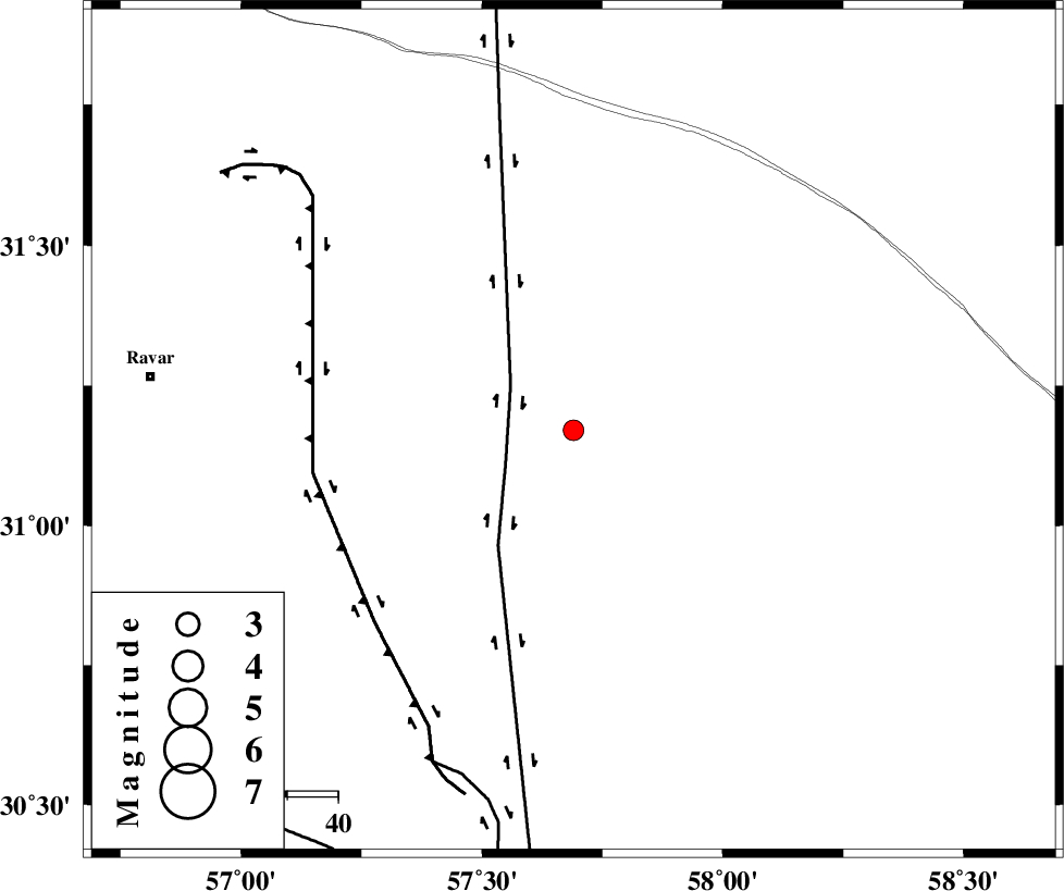
| Location | Lat:31.17 Lon: 57.69 |
| Region | Kerman Province, 84 km South-East of Ravar |
Nearest Cities |
|
| 78 km North East of Harjand, Kerman Province | |
| 82 km North East of Hejdak, Kerman Province | |
| 84 km North West of Estehkam, Kerman Province | |
| 84 km North of Shahdad, Kerman Province | |
| 84 km North East of Dehlulu, Kerman Province | |
| Depth | 14 km |
| Agency | |
Faults within 150 km: |
|
| NAYBAND_F (Length: 258 km) , Distance to epicenter: 15 km | |
| LAKARKUH_F (Length: 138 km) , Distance to epicenter: 52 km | |
| GOLBAF_SIRCH_F (Length: 114 km) , Distance to epicenter: 72 km | |
| Number of Phases | 5 |
| RMS | 0.2 |
| Number of Stations | 4 |
| Error in Latitude | >2.4 km |
| Error in Longitude | 10.8 km |
| Error in Depth | 5.9 km |
Download waveform in seisan format
to download seisan software Click here
to access information about IIEES stations Click here
Amplitude | ||||||||
| UID | Agency | Station | Component | Amplitude | Period | Arrival Time | Proccessing Time | Signal Clip |
| 86809 | IIEES | TABS | N | 30.8 | 0.44 | 2012-11-02 07:36:02 | 2012-11-02 06:59:00 | n |
| 86810 | IIEES | SHRT | N | 18.2 | 0.08 | 2012-11-02 07:35:56 | 2012-11-02 06:59:00 | n |
Phase | ||||||||||||
| Agency | Station | Component | Phase Type | Phase Quality | First Motion | Observed Arrival Time | Time Residual | Loc. Flag | Input Weight | Distance | Azimuth | |
| IIEES | KRBR | Z | Pg | E | 2012-11-02 07:35:07 | 0.19 | y | 158 | 214 | |||
| IIEES | KRBR | E | Sg | E | 2012-11-02 07:35:26 | -0.25 | y | 158 | 214 | |||
| IIEES | TABS | Z | Pn | E | 2012-11-02 07:35:23 | -0.08 | y | 281 | 349 | |||
| IIEES | TABS | E | Sg | E | 2012-11-02 07:35:59 | -0.14 | y | 281 | 349 | |||
| IIEES | YZKH | Z | Pn | E | 2012-11-02 07:35:29 | 0.29 | y | 323 | 296 | |||