
Magnitude |
:4.2 |
| Date & Time (UTC) | 2012-10-16 04:23:41.3 |
| Date & Time (Local) | 1391/7/25 07:53:41.3 |
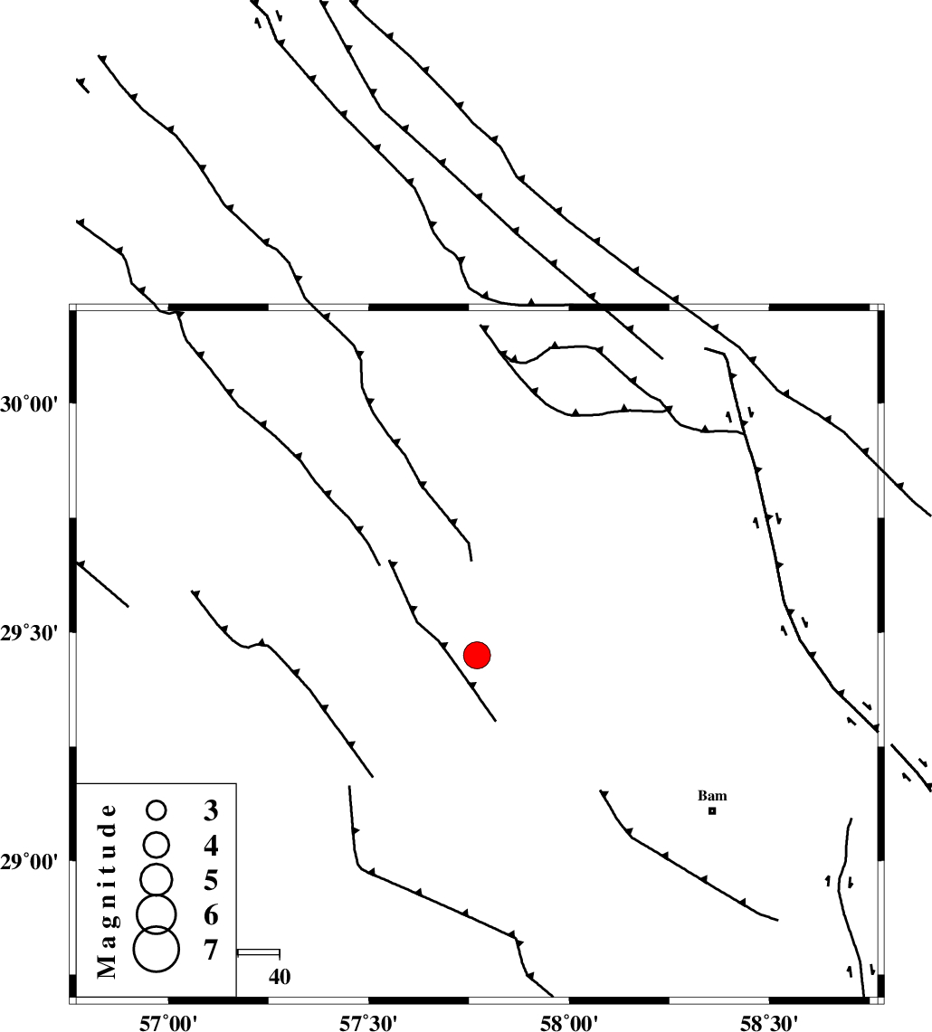
| Location | Lat:29.45 Lon: 57.77 |
| Region | Kerman Province, 87 km North of Jiroft |
Nearest Cities |
|
| 32 km South East of Dehmirza, Kerman Province | |
| 34 km North East of Groh, Kerman Province | |
| 36 km South East of Rain, Kerman Province | |
| 48 km South of Golbaft, Kerman Province | |
| 49 km North East of Sahebabad, Kerman Province | |
| Depth | 15 km |
| Agency | |
Faults within 150 km: |
|
| GOWK_F (Length: 152 km) , Distance to epicenter: 11 km | |
| GOLBAF_SIRCH_F (Length: 114 km) , Distance to epicenter: 21 km | |
| SHAHDAD_F (Length: 108 km) , Distance to epicenter: 41 km | |
| Number of Phases | 5 |
| RMS | 0.5 |
| Number of Stations | 6 |
| Error in Latitude | >6.6 km |
| Error in Longitude | 3.8 km |
| Error in Depth | 0 km |
Download waveform in seisan format
to download seisan software Click here
to access information about IIEES stations Click here
Amplitude | ||||||||
| UID | Agency | Station | Component | Amplitude | Period | Arrival Time | Proccessing Time | Signal Clip |
| 86618 | IIEES | KRBR | E | 6686.2 | 0.28 | 2012-10-16 04:24:09 | 2012-10-16 04:51:00 | n |
Phase | ||||||||||||
| Agency | Station | Component | Phase Type | Phase Quality | First Motion | Observed Arrival Time | Time Residual | Loc. Flag | Input Weight | Distance | Azimuth | |
| IIEES | BNDS | Z | Pn | E | 2012-10-16 04:24:22 | -0.58 | y | 276 | 215 | |||
| IIEES | ZHSF | Z | Pn | E | 2012-10-16 04:24:25 | 0.4 | y | 291 | 86 | |||
| IIEES | TABS | Z | Pn | E | 2012-10-16 04:24:47 | -0.05 | y | 470 | 353 | |||
| IIEES | GHIR | Z | Pn | E | 2012-10-16 04:24:50 | 0.83 | y | 484 | 256 | |||
| IIEES | SHRT | Z | Pn | E | 2012-10-16 04:24:53 | -0.54 | y | 523 | 27 | |||