
Magnitude |
:3.4 |
| Date & Time (UTC) | 2012-10-15 18:44:36.3 |
| Date & Time (Local) | 1391/7/24 22:14:36.3 |
| Location | Lat:29.71 Lon: 50.93 |
| Region | Bushehr Province, 43 km North-East of Bandar-e genaveh |
Nearest Cities |
|
| 23 km North East of Chehar rustaee, Bushehr Province | |
| 27 km North of Dehkohneh, Bushehr Province | |
| 31 km North East of Mohammad salehi, Bushehr Province | |
| 39 km North East of Bandarehrig, Bushehr Province | |
| 41 km North West of Saedabad, Bushehr Province | |
| Depth | 27 km |
| Agency | |
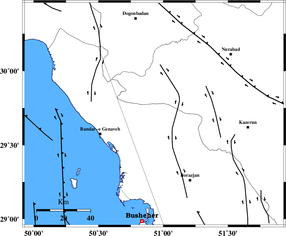
Faults within 150 km: |
|
| ZFF3 (Length: 125 km) , Distance to epicenter: 16 km | |
| BORAZJAN_F (Length: 168 km) , Distance to epicenter: 36 km | |
| KAZERUN_F (Length: 96 km) , Distance to epicenter: 58 km | |
| Number of Phases | 7 |
| RMS | 0.1 |
| Number of Stations | 7 |
| Error in Latitude | >3.3 km |
| Error in Longitude | 4.9 km |
| Error in Depth | 5.9 km |
Download waveform in seisan format
to download seisan software Click here
to access information about IIEES stations Click here
Amplitude | ||||||||
| UID | Agency | Station | Component | Amplitude | Period | Arrival Time | Proccessing Time | Signal Clip |
| 86604 | IIEES | BNDS | N | 17 | 0.24 | 2012-10-15 18:46:56 | 2012-10-15 07:39:00 | n |
| 86605 | IIEES | BNDS | E | 14.1 | 0.44 | 2012-10-15 18:47:15 | 2012-10-15 07:39:00 | n |
| 86606 | IIEES | SNGE | E | 15.8 | 0.6 | 2012-10-15 18:47:27 | 2012-10-15 07:39:00 | n |
| 86607 | IIEES | SNGE | N | 11.4 | 0.52 | 2012-10-15 18:47:30 | 2012-10-15 07:39:00 | n |
Phase | ||||||||||||
| Agency | Station | Component | Phase Type | Phase Quality | First Motion | Observed Arrival Time | Time Residual | Loc. Flag | Input Weight | Distance | Azimuth | |
| IIEES | AHRM | Z | Pg | E | 2012-10-15 18:44:53 | 0 | y | 100 | 159 | |||
| IIEES | GHIR | Z | Pn | E | 2012-10-15 18:45:14 | -0.04 | y | 255 | 128 | |||
| IIEES | KHMZ | Z | Pn | E | 2012-10-15 18:45:39 | 0.09 | y | 456 | 349 | |||
| IIEES | YZKH | Z | Pn | E | 2012-10-15 18:45:39 | -0.09 | y | 459 | 49 | |||
| IIEES | ASAO | Z | Pn | E | 2012-10-15 18:45:50 | 0.11 | y | 543 | 351 | |||
| IIEES | BNDS | Z | Pn | E | 2012-10-15 18:45:54 | 0.11 | y | 573 | 115 | |||
| IIEES | SNGE | Z | Pn | E | 2012-10-15 18:46:07 | -0.2 | y | 685 | 331 | |||