
Magnitude |
:2.6 |
| Date & Time (UTC) | 2012-10-14 16:44:02.6 |
| Date & Time (Local) | 1391/7/23 20:14:02.6 |
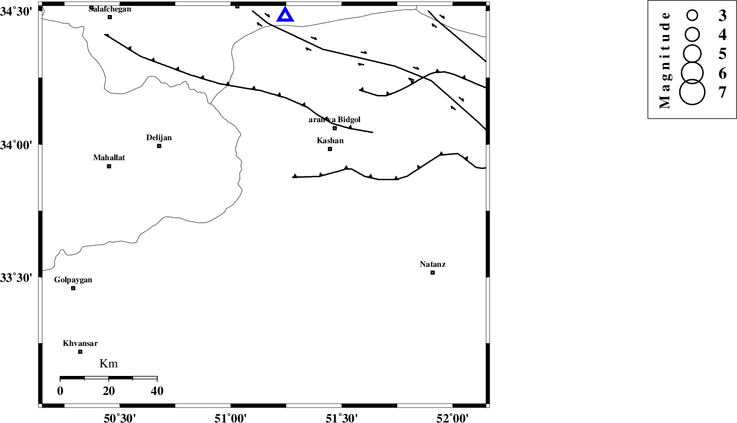
| Location | Lat:33.77 Lon: 51.15 |
| Region | Esfahan Province, 37 km South-West of Kashan |
Nearest Cities |
|
| 7 km of Barzak, Esfahan Province | |
| 21 km North of Joshqan qali, Esfahan Province | |
| 22 km South of Niyasar, Esfahan Province | |
| 25 km North West of Qamsar, Esfahan Province | |
| 26 km North West of Qahrud, Esfahan Province | |
| Depth | 14 km |
| Agency | |
Faults within 150 km: |
|
| KASHAN_F (Length: 44 km) , Distance to epicenter: 30 km | |
| ZEFREH_F (Length: 124 km) , Distance to epicenter: 34 km | |
| TAFRESH_F (Length: 117 km) , Distance to epicenter: 83 km | |
| Number of Phases | 4 |
| RMS | 0.1 |
| Number of Stations | 4 |
| Error in Latitude | >7.6 km |
| Error in Longitude | 8 km |
| Error in Depth | 8.3 km |
Download waveform in seisan format
to download seisan software Click here
to access information about IIEES stations Click here
Amplitude | ||||||||
| UID | Agency | Station | Component | Amplitude | Period | Arrival Time | Proccessing Time | Signal Clip |
| 86586 | IIEES | DAMV | E | 50 | 0.2 | 2012-10-14 16:45:07 | 2012-10-14 04:55:00 | n |
Phase | ||||||||||||
| Agency | Station | Component | Phase Type | Phase Quality | First Motion | Observed Arrival Time | Time Residual | Loc. Flag | Input Weight | Distance | Azimuth | |
| IIEES | GHVR | Z | Pg | E | 2012-10-14 16:44:16 | -0.15 | y | 79.9 | 7 | |||
| IIEES | KHMZ | Z | Pg | E | 2012-10-14 16:44:21 | -0.06 | y | 109 | 269 | |||
| IIEES | ASAO | Z | Pg | E | 2012-10-14 16:44:25 | 0.1 | y | 135 | 310 | |||
| IIEES | DAMV | Z | Pn | E | 2012-10-14 16:44:37 | 0.11 | y | 220 | 20 | |||