
Magnitude |
:3.1 |
| Date & Time (UTC) | 2012-10-11 13:00:47.7 |
| Date & Time (Local) | 1391/7/20 16:30:47.7 |
| Location | Lat:30.88 Lon: 50.15 |
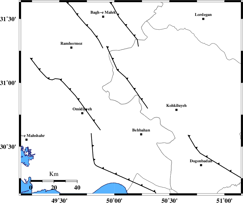
| Region | Kohkiluieh va boyerahmad Province, 33 km North of Behbahan |
Nearest Cities |
|
| 19 km North of Dodange-ye bozorg, Khoozestan Province | |
| 25 km North East of Jolaki, Khoozestan Province | |
| 28 km West of Lendeh, Kohkiluieh va boyerahmad Province | |
| 29 km North East of Jayzan, Khoozestan Province | |
| 31 km North West of Mansuriyeh, Khoozestan Province | |
| Depth | 14 km |
| Agency | |
Faults within 150 km: |
|
| MFF4 (Length: 62 km) , Distance to epicenter: 13 km | |
| AGHAJARI_F (Length: 88 km) , Distance to epicenter: 39 km | |
| MFF2 (Length: 205 km) , Distance to epicenter: 45 km | |
| Number of Phases | 5 |
| RMS | 0 |
| Number of Stations | 5 |
| Error in Latitude | >2.9 km |
| Error in Longitude | 3.3 km |
| Error in Depth | 6.1 km |
Download waveform in seisan format
to download seisan software Click here
to access information about IIEES stations Click here
Amplitude | ||||||||
| UID | Agency | Station | Component | Amplitude | Period | Arrival Time | Proccessing Time | Signal Clip |
| 86507 | IIEES | SHGR | E | 278.3 | 0.32 | 2012-10-11 13:01:43 | 2012-10-11 01:22:00 | n |
| 86508 | IIEES | SHGR | N | 345.1 | 0.56 | 2012-10-11 13:01:50 | 2012-10-11 01:22:00 | n |
| 86509 | IIEES | GHIR | E | 19.3 | 0.6 | 2012-10-11 13:02:58 | 2012-10-11 01:22:00 | n |
| 86510 | IIEES | SNGE | N | 9.1 | 0.48 | 2012-10-11 13:03:06 | 2012-10-11 01:22:00 | n |
Phase | ||||||||||||
| Agency | Station | Component | Phase Type | Phase Quality | First Motion | Observed Arrival Time | Time Residual | Loc. Flag | Input Weight | Distance | Azimuth | |
| IIEES | SHGR | Z | Pn | E | 2012-10-11 13:01:18 | 0.05 | y | 187 | 317 | |||
| IIEES | SHGR | E | Sg | E | 2012-10-11 13:01:40 | -0.01 | y | 187 | 317 | |||
| IIEES | GHIR | Z | Pn | E | 2012-10-11 13:01:44 | -0.03 | y | 398 | 136 | |||
| IIEES | ASAO | Z | Pn | E | 2012-10-11 13:01:46 | -0.07 | y | 407 | 358 | |||
| IIEES | YZKH | Z | Pn | E | 2012-10-11 13:01:52 | 0.05 | y | 454 | 67 | |||