
Magnitude |
:3.3 |
| Date & Time (UTC) | 2012-10-02 19:48:31.2 |
| Date & Time (Local) | 1391/7/11 23:18:31.2 |
| Location | Lat:30.6 Lon: 50.39 |
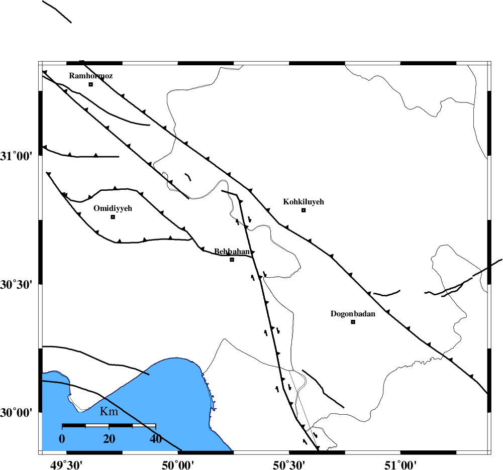
| Region | Khoozestan Province, 14 km East of Behbahan |
Nearest Cities |
|
| 9 km of Mansuriyeh, Khoozestan Province | |
| 14 km North East of Behbahan, Khoozestan Province | |
| 24 km South East of Dodange-ye bozorg, Khoozestan Province | |
| 27 km South West of Dehdasht, Kohkiluieh va boyerahmad Province | |
| 35 km North East of Sardasht, Khoozestan Province | |
| Depth | 14 km |
| Agency | |
Faults within 150 km: |
|
| MFF4 (Length: 62 km) , Distance to epicenter: 24 km | |
| MISHAN_F (Length: 76 km) , Distance to epicenter: 27 km | |
| RAG_E_SEFID_F (Length: 84 km) , Distance to epicenter: 47 km | |
| Number of Phases | 4 |
| RMS | 0.1 |
| Number of Stations | 3 |
| Error in Latitude | >11.6 km |
| Error in Longitude | 10.3 km |
| Error in Depth | 11.8 km |
Download waveform in seisan format
to download seisan software Click here
to access information about IIEES stations Click here
Amplitude | ||||||||
| UID | Agency | Station | Component | Amplitude | Period | Arrival Time | Proccessing Time | Signal Clip |
| 86401 | IIEES | SHGR | N | 146.6 | 0.48 | 2012-10-02 19:49:36 | 2012-10-02 08:53:00 | n |
| 86402 | IIEES | SHGR | E | 313.2 | 0.52 | 2012-10-02 19:49:36 | 2012-10-02 08:53:00 | n |
Phase | ||||||||||||
| Agency | Station | Component | Phase Type | Phase Quality | First Motion | Observed Arrival Time | Time Residual | Loc. Flag | Input Weight | Distance | Azimuth | |
| IIEES | SHGR | Z | Pg | E | 2012-10-02 19:49:08 | 0.01 | y | 225 | 318 | |||
| IIEES | SHGR | E | Sg | E | 2012-10-02 19:49:34 | -0.03 | y | 225 | 318 | |||
| IIEES | NASN | Z | Pn | E | 2012-10-02 19:49:20 | -0.1 | y | 335 | 43 | |||
| IIEES | KHMZ | Z | Pn | E | 2012-10-02 19:49:22 | 0.13 | y | 351 | 354 | |||