
Magnitude |
:2.8 |
| Date & Time (UTC) | 2012-10-01 02:46:01.4 |
| Date & Time (Local) | 1391/7/10 06:16:01.4 |
| Location | Lat:31.67 Lon: 51.23 |
| Region | Chaharmahal Bakhtiari Province, 34 km South of Borujen |
Nearest Cities |
|
| 19 km North of Vanak, Esfahan Province | |
| 21 km North East of Aluni, Chaharmahal Bakhtiari Province | |
| 23 km South of Gandoman, Chaharmahal Bakhtiari Province | |
| 33 km South East of Baladaji, Chaharmahal Bakhtiari Province | |
| 33 km South of Borujen, Chaharmahal Bakhtiari Province | |
| Depth | 14 km |
| Agency | |
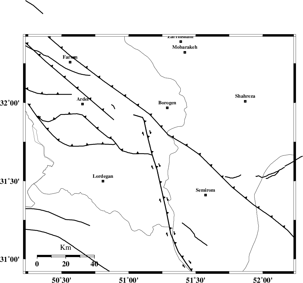
Faults within 150 km: |
|
| DENA_F (Length: 137 km) , Distance to epicenter: 5 km | |
| DOPOLAN_F (Length: 107 km) , Distance to epicenter: 5 km | |
| MAIN_ZAGROS_R_F (Length: 1106 km) , Distance to epicenter: 15 km | |
| Number of Phases | 6 |
| RMS | 0.1 |
| Number of Stations | 5 |
| Error in Latitude | >6 km |
| Error in Longitude | 5.7 km |
| Error in Depth | 7.6 km |
Download waveform in seisan format
to download seisan software Click here
to access information about IIEES stations Click here
Amplitude | ||||||||
| UID | Agency | Station | Component | Amplitude | Period | Arrival Time | Proccessing Time | Signal Clip |
| 86364 | IIEES | KHMZ | E | 69.2 | 0.6 | 2012-10-01 02:47:17 | 2012-10-01 03:22:00 | n |
| 86365 | IIEES | KHMZ | N | 42.6 | 0.52 | 2012-10-01 02:47:25 | 2012-10-01 03:22:00 | n |
Phase | ||||||||||||
| Agency | Station | Component | Phase Type | Phase Quality | First Motion | Observed Arrival Time | Time Residual | Loc. Flag | Input Weight | Distance | Azimuth | |
| IIEES | NASN | Z | Pg | E | 2012-10-01 02:46:33 | -0.17 | y | 194 | 49 | |||
| IIEES | GHVR | Z | Pn | E | 2012-10-01 02:46:48 | 0.13 | y | 312 | 0 | |||
| IIEES | GHVR | E | Sg | E | 2012-10-01 02:47:29 | 0.15 | y | 312 | 0 | |||
| IIEES | YZKH | Z | Pn | E | 2012-10-01 02:46:50 | 0.07 | y | 327 | 75 | |||
| IIEES | ASAO | Z | Pn | E | 2012-10-01 02:46:51 | -0.01 | y | 339 | 341 | |||
| IIEES | ASAO | E | Sg | E | 2012-10-01 02:47:36 | -0.16 | y | 339 | 341 | |||