
Magnitude |
:2 |
| Date & Time (UTC) | 2012-09-21 11:51:09.4 |
| Date & Time (Local) | 1391/6/31 15:21:09.4 |
| Location | Lat:31.61 Lon: 55.43 |
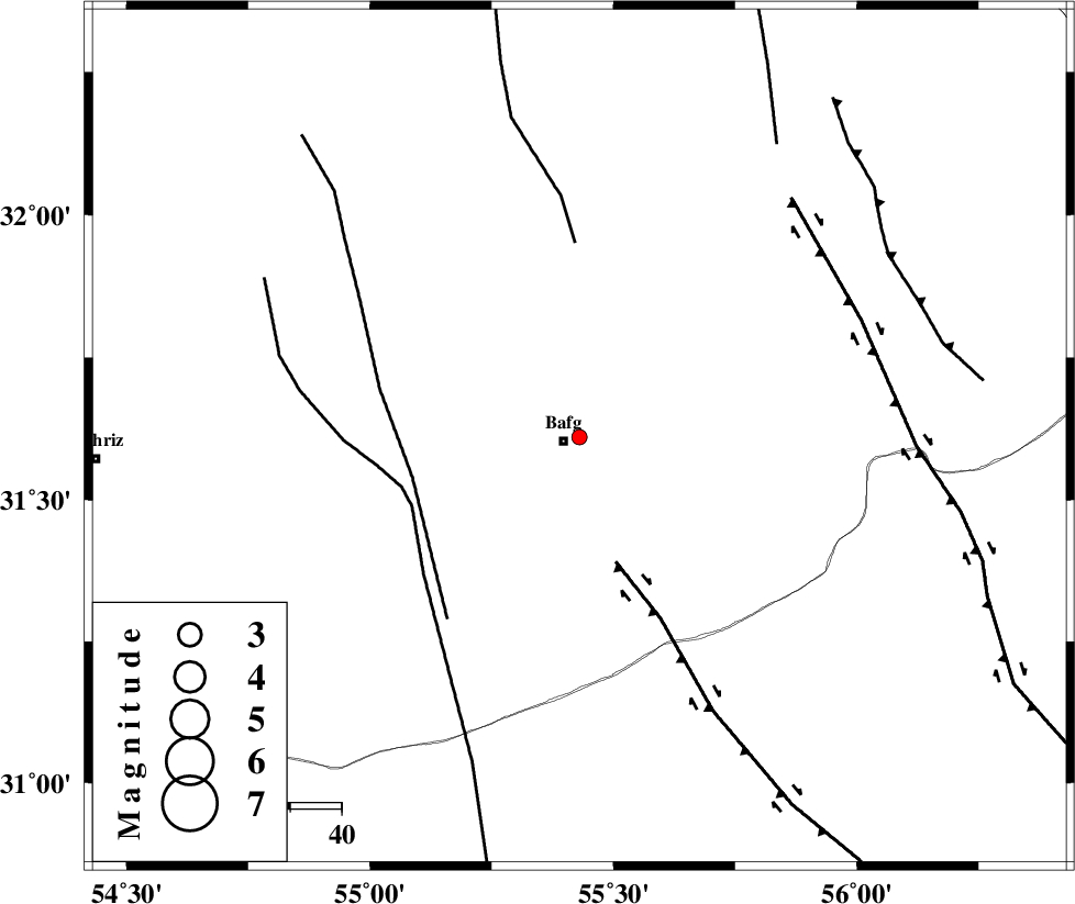
| Region | Yazd Province, 3 km Bafq |
Nearest Cities |
|
| 2 km of Mobarake, Yazd Province | |
| 3 km North of Bafq, Yazd Province | |
| 37 km South West of Kushk, Yazd Province | |
| 55 km North West of Basab, Yazd Province | |
| 57 km North East of Bahadoran, Yazd Province | |
| Depth | 22 km |
| Agency | |
Faults within 150 km: |
|
| DARIVAN_F (Length: 131 km) , Distance to epicenter: 25 km | |
| ANAR_F (Length: 91 km) , Distance to epicenter: 33 km | |
| ANAR_F (Length: 127 km) , Distance to epicenter: 35 km | |
| Number of Phases | 4 |
| RMS | 0.1 |
| Number of Stations | 3 |
| Error in Latitude | >0.7 km |
| Error in Longitude | 1.3 km |
| Error in Depth | 0 km |
Download waveform in seisan format
to download seisan software Click here
to access information about IIEES stations Click here
Amplitude | ||||||||
| UID | Agency | Station | Component | Amplitude | Period | Arrival Time | Proccessing Time | Signal Clip |
| 86229 | IIEES | KRBR | N | 10.1 | 0.44 | 2012-09-21 11:52:19 | 2012-09-21 01:08:00 | n |
| 86230 | IIEES | KRBR | E | 12.5 | 0.56 | 2012-09-21 11:52:21 | 2012-09-21 01:08:00 | n |
Phase | ||||||||||||
| Agency | Station | Component | Phase Type | Phase Quality | First Motion | Observed Arrival Time | Time Residual | Loc. Flag | Input Weight | Distance | Azimuth | |
| IIEES | YZKH | Z | Pg | E | 2012-09-21 11:51:29 | 0.22 | y | 117 | 318 | |||
| IIEES | YZKH | E | Sg | E | 2012-09-21 11:51:43 | -0.16 | y | 117 | 318 | |||
| IIEES | KRBR | Z | Pg | E | 2012-09-21 11:51:44 | -0.06 | y | 221 | 144 | |||
| IIEES | TABS | Z | Pn | E | 2012-09-21 11:51:50 | -0.01 | y | 277 | 35 | |||