
Magnitude |
:3.2 |
| Date & Time (UTC) | 2012-08-26 04:57:09.5 |
| Date & Time (Local) | 1391/6/5 09:27:09.5 |
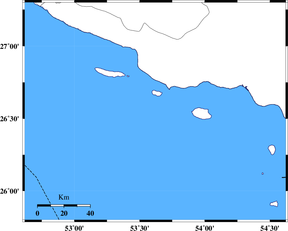
| Location | Lat:26.55 Lon: 53.62 |
| Region | Persian Gulf, 98 km South-East of Lamerd |
Nearest Cities |
|
| 70 km South West of Ahl, Fars Province | |
| 75 km South of Ashkenan, Fars Province | |
| 84 km South West of Jenah, Hormozgan Province | |
| 98 km South East of Beyram, Fars Province | |
| 98 km South East of Lamerd, Fars Province | |
| Depth | 16 km |
| Agency | |
Faults within 150 km: |
|
| ZFF1 (Length: 165 km) , Distance to epicenter: 23 km | |
| MFF3 (Length: 292 km) , Distance to epicenter: 53 km | |
| MFF1 (Length: 180 km) , Distance to epicenter: 72 km | |
| Number of Phases | 5 |
| RMS | 0 |
| Number of Stations | 4 |
| Error in Latitude | >9.1 km |
| Error in Longitude | 2.7 km |
| Error in Depth | 6 km |
Download waveform in seisan format
to download seisan software Click here
to access information about IIEES stations Click here
Amplitude | ||||||||
| UID | Agency | Station | Component | Amplitude | Period | Arrival Time | Proccessing Time | Signal Clip |
| 85800 | IIEES | GHIR | E | 263.4 | 0.35 | 2012-08-26 04:58:09 | 2012-08-26 05:41:00 | n |
| 85801 | IIEES | BNDS | N | 85 | 0.42 | 2012-08-26 04:58:43 | 2012-08-26 05:41:00 | n |
Phase | ||||||||||||
| Agency | Station | Component | Phase Type | Phase Quality | First Motion | Observed Arrival Time | Time Residual | Loc. Flag | Input Weight | Distance | Azimuth | |
| IIEES | GHIR | Z | Pg | E | 2012-08-26 04:57:42 | 0.01 | y | 203 | 342 | |||
| IIEES | BNDS | Z | Pn | E | 2012-08-26 04:57:50 | 0.01 | y | 270 | 69 | |||
| IIEES | BNDS | N | Sg | E | 2012-08-26 04:58:25 | -0.01 | y | 270 | 69 | |||
| IIEES | YZKH | Z | Pn | E | 2012-08-26 04:58:38 | 0.03 | y | 655 | 8 | |||
| IIEES | KHMZ | Z | Pn | E | 2012-08-26 04:59:05 | -0.08 | y | 872 | 337 | |||