
Magnitude |
:2.5 |
| Date & Time (UTC) | 2012-08-22 20:48:44.0 |
| Date & Time (Local) | 1391/6/2 01:18:44.0 |
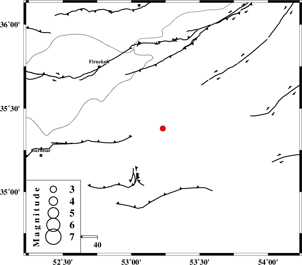
| Location | Lat:35.38 Lon: 53.23 |
| Region | Semnan Province, 26 km South-West of Semnan |
Nearest Cities |
|
| 9 km of Sorkheh, Semnan Province | |
| 13 km East of Lasjerd, Semnan Province | |
| 26 km South West of Semnan, Semnan Province | |
| 27 km South East of Aftar, Semnan Province | |
| 29 km South West of Alae, Semnan Province | |
| Depth | 14 km |
| Agency | |
Faults within 150 km: |
|
| KUH_E_GACHAB_F2 (Length: 31 km) , Distance to epicenter: 14 km | |
| KUH_E_GACHAB_F1 (Length: 53 km) , Distance to epicenter: 28 km | |
| ATARI_F (Length: 185 km) , Distance to epicenter: 30 km | |
| Number of Phases | 5 |
| RMS | 0.1 |
| Number of Stations | 3 |
| Error in Latitude | >2.1 km |
| Error in Longitude | 3.9 km |
| Error in Depth | 4.9 km |
Download waveform in seisan format
to download seisan software Click here
to access information about IIEES stations Click here
Amplitude | ||||||||
| UID | Agency | Station | Component | Amplitude | Period | Arrival Time | Proccessing Time | Signal Clip |
| 85694 | IIEES | GHVR | E | 57.1 | 0.28 | 2012-08-22 20:49:44 | 2012-08-22 09:30:00 | n |
| 85695 | IIEES | GHVR | N | 32.7 | 0.52 | 2012-08-22 20:49:45 | 2012-08-22 09:30:00 | n |
Phase | ||||||||||||
| Agency | Station | Component | Phase Type | Phase Quality | First Motion | Observed Arrival Time | Time Residual | Loc. Flag | Input Weight | Distance | Azimuth | |
| IIEES | DAMV | Z | Pg | E | 2012-08-22 20:49:03 | 0 | y | 117 | 284 | |||
| IIEES | GHVR | Z | Pg | E | 2012-08-22 20:49:17 | -0.1 | y | 207 | 242 | |||
| IIEES | GHVR | E | Sg | E | 2012-08-22 20:49:42 | 0.06 | y | 207 | 242 | |||
| IIEES | THKV | Z | Pn | E | 2012-08-22 20:49:19 | 0.07 | y | 221 | 286 | |||
| IIEES | THKV | N | Sg | E | 2012-08-22 20:49:46 | -0.03 | y | 221 | 286 | |||