
Magnitude |
:3 |
| Date & Time (UTC) | 2012-07-24 16:22:39.5 |
| Date & Time (Local) | 1391/5/3 20:52:39.5 |
| Location | Lat:32.94 Lon: 47.91 |
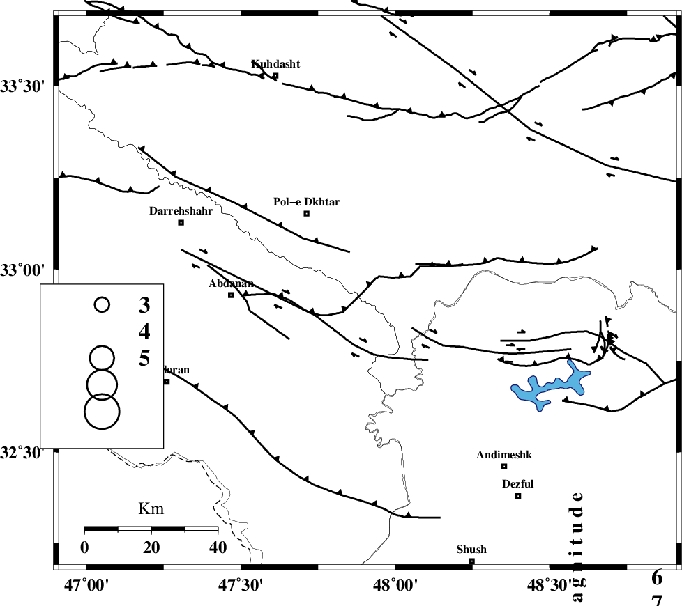
| Region | Lorestan Province, 30 km South-East of Pol-e dokhtar |
Nearest Cities |
|
| 27 km South East of Sarab hammam, Lorestan Province | |
| 30 km South East of Pol-e dokhtar, Lorestan Province | |
| 32 km North East of Sarabbagh, Ilam Province | |
| 37 km North West of Bidruyeh, Khoozestan Province | |
| 38 km South East of Morani, Lorestan Province | |
| Depth | 14 km |
| Agency | |
Faults within 150 km: |
|
| BALARUD_F_Z1 (Length: 87 km) , Distance to epicenter: 17 km | |
| BALARUD_F_Z3 (Length: 53 km) , Distance to epicenter: 17 km | |
| MFF6 (Length: 144 km) , Distance to epicenter: 41 km | |
| Number of Phases | 6 |
| RMS | 0.2 |
| Number of Stations | 4 |
| Error in Latitude | >2.8 km |
| Error in Longitude | 8.2 km |
| Error in Depth | 9 km |
Download waveform in seisan format
to download seisan software Click here
to access information about IIEES stations Click here
Amplitude | ||||||||
| UID | Agency | Station | Component | Amplitude | Period | Arrival Time | Proccessing Time | Signal Clip |
| 84580 | IIEES | SHGR | N | 492.8 | 0.52 | 2012-07-24 16:23:18 | 2012-07-24 04:49:00 | n |
| 84581 | IIEES | SHGR | E | 479.2 | 0.2 | 2012-07-24 16:23:18 | 2012-07-24 04:49:00 | n |
| 84582 | IIEES | KHMZ | N | 45.9 | 0.76 | 2012-07-24 16:23:44 | 2012-07-24 04:49:00 | n |
Phase | ||||||||||||
| Agency | Station | Component | Phase Type | Phase Quality | First Motion | Observed Arrival Time | Time Residual | Loc. Flag | Input Weight | Distance | Azimuth | |
| IIEES | SHGR | Z | Pg | E | 2012-07-24 16:23:00 | 0.24 | y | 124 | 137 | |||
| IIEES | SHGR | E | Sg | E | 2012-07-24 16:23:15 | -0.09 | y | 124 | 137 | |||
| IIEES | KHMZ | Z | Pg | E | 2012-07-24 16:23:13 | -0.46 | y | 211 | 64 | |||
| IIEES | KHMZ | N | Sg | E | 2012-07-24 16:23:39 | 0.21 | y | 211 | 64 | |||
| IIEES | ASAO | Z | Pn | E | 2012-07-24 16:23:20 | 0.11 | y | 265 | 47 | |||
| IIEES | GHVR | Z | Pn | E | 2012-07-24 16:23:31 | 0 | y | 353 | 60 | |||