
Magnitude |
:3.2 |
| Date & Time (UTC) | 2012-06-02 15:01:15.2 |
| Date & Time (Local) | 1391/3/13 19:31:15.2 |
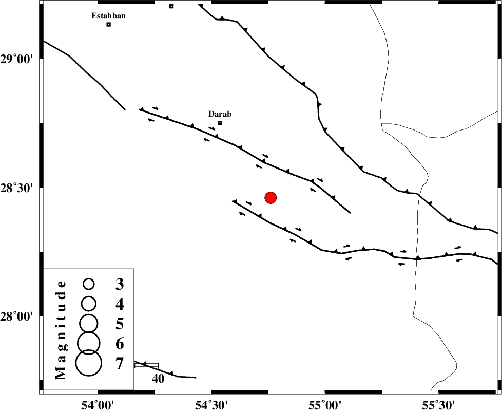
| Location | Lat:28.46 Lon: 54.76 |
| Region | Fars Province, 39 km South-East of Darab |
Nearest Cities |
|
| 22 km South of Dehkheyr, Fars Province | |
| 31 km North West of Rostaq, Fars Province | |
| 35 km North East of Hajiabad, Fars Province | |
| 37 km South East of Shahnan, Fars Province | |
| 39 km South East of Darab, Fars Province | |
| Depth | 18 km |
| Agency | |
Faults within 150 km: |
|
| HZF2 (Length: 437 km) , Distance to epicenter: 11 km | |
| HZF1 (Length: 102 km) , Distance to epicenter: 14 km | |
| MAIN_ZAGROS_R_F (Length: 1106 km) , Distance to epicenter: 37 km | |
| Number of Phases | 4 |
| RMS | 0 |
| Number of Stations | 3 |
| Error in Latitude | >1.8 km |
| Error in Longitude | 1.6 km |
| Error in Depth | 3.9 km |
Download waveform in seisan format
to download seisan software Click here
to access information about IIEES stations Click here
Amplitude | ||||||||
| UID | Agency | Station | Component | Amplitude | Period | Arrival Time | Proccessing Time | Signal Clip |
| 83862 | IIEES | GHIR | E | 278.4 | 0.52 | 2012-06-02 15:02:14 | 2012-06-02 03:09:00 | n |
| 83863 | IIEES | GHIR | N | 306.1 | 0.52 | 2012-06-02 15:02:16 | 2012-06-02 03:09:00 | n |
| 83864 | IIEES | BNDS | N | 270.1 | 0.76 | 2012-06-02 15:02:17 | 2012-06-02 03:09:00 | n |
| 83865 | IIEES | BNDS | E | 274.2 | 0.68 | 2012-06-02 15:02:22 | 2012-06-02 03:09:00 | n |
| 83866 | IIEES | KRBR | N | 128.8 | 0.4 | 2012-06-02 15:02:34 | 2012-06-02 03:09:00 | n |
| 83867 | IIEES | KRBR | E | 122.2 | 0.4 | 2012-06-02 15:02:35 | 2012-06-02 03:09:00 | n |
Phase | ||||||||||||
| Agency | Station | Component | Phase Type | Phase Quality | First Motion | Observed Arrival Time | Time Residual | Loc. Flag | Input Weight | Distance | Azimuth | |
| IIEES | GHIR | Z | Pg | E | 2012-06-02 15:01:44 | 0.01 | y | 175 | 264 | |||
| IIEES | BNDS | Z | Pg | E | 2012-06-02 15:01:45 | 0.01 | y | 182 | 130 | |||
| IIEES | KRBR | Z | Pn | E | 2012-06-02 15:01:54 | -0.04 | y | 257 | 49 | |||
| IIEES | KRBR | N | Sg | E | 2012-06-02 15:02:28 | 0.03 | y | 257 | 49 | |||