
Magnitude |
:3 |
| Date & Time (UTC) | 2012-05-17 01:18:57.9 |
| Date & Time (Local) | 1391/2/28 05:48:57.9 |
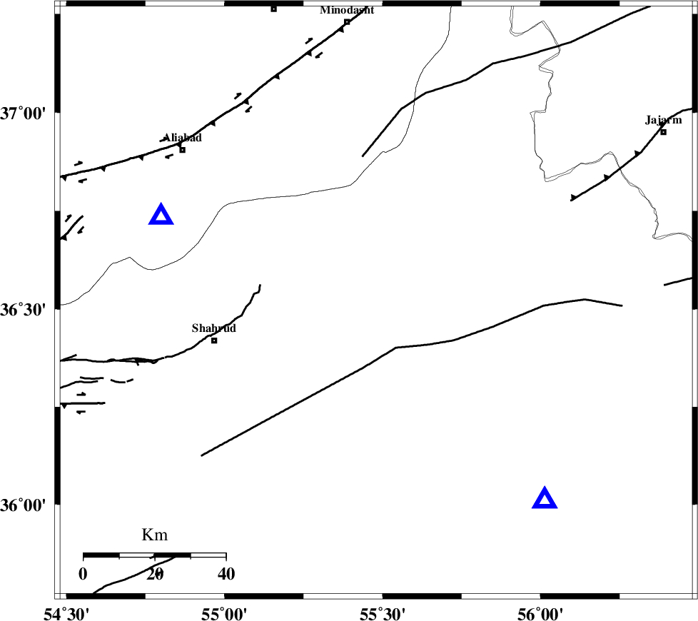
| Location | Lat:36.52 Lon: 55.48 |
| Region | Semnan Province, 47 km North-East of Shahrud |
Nearest Cities |
|
| 20 km North West of Miamay, Semnan Province | |
| 22 km South East of Kalateh khanj, Semnan Province | |
| 36 km South East of Qaleh-ye nokharqan, Semnan Province | |
| 43 km North East of Bastam, Semnan Province | |
| 46 km North East of Ruyan, Semnan Province | |
| Depth | 14 km |
| Agency | |
Faults within 150 km: |
|
| MEYAMEY_F (Length: 141 km) , Distance to epicenter: 14 km | |
| SHAVAR_F (Length: 87 km) , Distance to epicenter: 37 km | |
| ROBATE_QARABIL_F (Length: 168 km) , Distance to epicenter: 41 km | |
| Number of Phases | 7 |
| RMS | 0.1 |
| Number of Stations | 5 |
| Error in Latitude | >0.9 km |
| Error in Longitude | 1.9 km |
| Error in Depth | 3.6 km |
Download waveform in seisan format
to download seisan software Click here
to access information about IIEES stations Click here
Amplitude | ||||||||
| UID | Agency | Station | Component | Amplitude | Period | Arrival Time | Proccessing Time | Signal Clip |
| 83602 | IIEES | GHVR | N | 20.7 | 0.48 | 2012-05-17 01:21:19 | 2012-05-17 03:11:00 | n |
| 83603 | IIEES | GHVR | E | 18.5 | 0.52 | 2012-05-17 01:21:19 | 2012-05-17 03:11:00 | n |
Phase | ||||||||||||
| Agency | Station | Component | Phase Type | Phase Quality | First Motion | Observed Arrival Time | Time Residual | Loc. Flag | Input Weight | Distance | Azimuth | |
| IIEES | SHRO | Z | Pg | E | 2012-05-17 01:19:10 | -0.05 | y | 74.6 | 140 | |||
| IIEES | SHRO | E | Sg | E | 2012-05-17 01:19:20 | 0.05 | y | 74.6 | 140 | |||
| IIEES | MRVT | Z | Pg | E | 2012-05-17 01:19:20 | 0.08 | y | 137 | 23 | |||
| IIEES | BJRD | Z | Pn | E | 2012-05-17 01:19:32 | 0.04 | y | 216 | 52 | |||
| IIEES | BJRD | N | Sg | E | 2012-05-17 01:19:59 | -0.08 | y | 216 | 52 | |||
| IIEES | DAMV | Z | Pn | E | 2012-05-17 01:19:46 | -0.02 | y | 331 | 254 | |||
| IIEES | GHVR | Z | Pn | E | 2012-05-17 01:20:00 | -0.03 | y | 446 | 241 | |||