
Magnitude |
:2.4 |
| Date & Time (UTC) | 2012-04-05 13:14:40.1 |
| Date & Time (Local) | 1391/1/17 17:44:40.1 |
| Location | Lat:33.24 Lon: 47.54 |
| Region | Lorestan Province, 18 km West of Pol-e dokhtar |
Nearest Cities |
|
| 8 km of Chaqabol, Lorestan Province | |
| 14 km of Suri, Lorestan Province | |
| 17 km West of Morani, Lorestan Province | |
| 19 km North West of Pol-e dokhtar, Lorestan Province | |
| 21 km North West of Sarab hammam, Lorestan Province | |
| Depth | 43 km |
| Agency | |
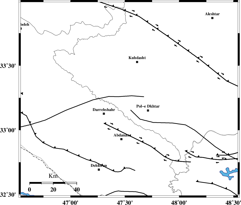
Faults within 150 km: |
|
| BALARUD_F_Z1 (Length: 87 km) , Distance to epicenter: 30 km | |
| MFF6 (Length: 144 km) , Distance to epicenter: 59 km | |
| HZF4 (Length: 492 km) , Distance to epicenter: 63 km | |
| Number of Phases | 6 |
| RMS | 0.1 |
| Number of Stations | 4 |
| Error in Latitude | >1.7 km |
| Error in Longitude | 2.9 km |
| Error in Depth | 2.8 km |
Download waveform in seisan format
to download seisan software Click here
to access information about IIEES stations Click here
Amplitude | ||||||||
| UID | Agency | Station | Component | Amplitude | Period | Arrival Time | Proccessing Time | Signal Clip |
| 82651 | IIEES | SHGR | N | 77.7 | 0.48 | 2012-04-05 13:15:35 | 2012-04-05 01:31:00 | n |
| 82652 | IIEES | SHGR | E | 75.8 | 0.64 | 2012-04-05 13:15:46 | 2012-04-05 01:31:00 | n |
| 82653 | IIEES | SNGE | E | 31.3 | 0.6 | 2012-04-05 13:15:49 | 2012-04-05 01:31:00 | n |
| 82654 | IIEES | SNGE | N | 34.9 | 0.48 | 2012-04-05 13:15:50 | 2012-04-05 01:31:00 | n |
| 82655 | IIEES | KHMZ | E | 18.4 | 0.64 | 2012-04-05 13:15:47 | 2012-04-05 01:31:00 | n |
| 82656 | IIEES | KHMZ | N | 20.7 | 0.68 | 2012-04-05 13:15:51 | 2012-04-05 01:31:00 | n |
| 82657 | IIEES | ASAO | E | 19 | 0.48 | 2012-04-05 13:16:02 | 2012-04-05 01:31:00 | n |
Phase | ||||||||||||
| Agency | Station | Component | Phase Type | Phase Quality | First Motion | Observed Arrival Time | Time Residual | Loc. Flag | Input Weight | Distance | Azimuth | |
| IIEES | SHGR | N | Sg | E | 2012-04-05 13:15:28 | 0 | y | 172 | 136 | |||
| IIEES | SNGE | Z | Pn | E | 2012-04-05 13:15:11 | 0.21 | y | 207 | 355 | |||
| IIEES | SNGE | E | Sg | E | 2012-04-05 13:15:38 | -0.09 | y | 207 | 355 | |||
| IIEES | KHMZ | Z | Pn | E | 2012-04-05 13:15:13 | -0.17 | y | 232 | 75 | |||
| IIEES | KHMZ | N | Sg | E | 2012-04-05 13:15:45 | 0.1 | y | 232 | 75 | |||
| IIEES | ASAO | Z | Pn | E | 2012-04-05 13:15:19 | -0.05 | y | 272 | 57 | |||