
Magnitude |
:3.2 |
| Date & Time (UTC) | 2012-03-11 06:03:17.5 |
| Date & Time (Local) | 1390/12/21 09:33:17.5 |
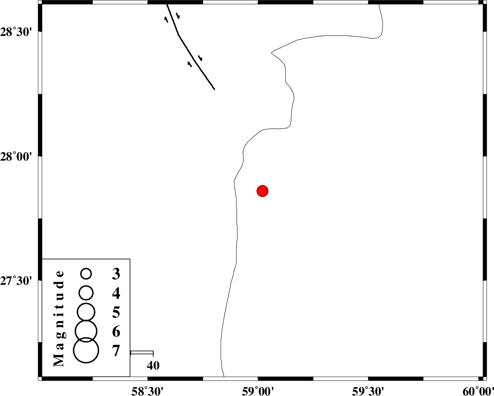
| Location | Lat:27.86 Lon: 59.02 |
| Region | Sistan va Baloochestan Province, 131 km East of Kahnuj |
Nearest Cities |
|
| 53 km South East of Borj-e abbasabad, Kerman Province | |
| 61 km North West of Kalemursi, Sistan va Baloochestan Province | |
| 94 km South of Hoseynabad, Kerman Province | |
| 96 km South East of Mohammadabad-e gonbaki, Kerman Province | |
| 99 km South East of Mardehak, Kerman Province | |
| Depth | 15 km |
| Agency | |
Faults within 150 km: |
|
| BAM_F (Length: 118 km) , Distance to epicenter: 50 km | |
| S_JAZMURIAN_F (Length: 91 km) , Distance to epicenter: 108 km | |
| JIROFT_F (Length: 144 km) , Distance to epicenter: 112 km | |
| Number of Phases | 4 |
| RMS | 0.4 |
| Number of Stations | 4 |
| Error in Latitude | >8.9 km |
| Error in Longitude | 2.9 km |
| Error in Depth | 0 km |
Download waveform in seisan format
to download seisan software Click here
to access information about IIEES stations Click here
Amplitude | ||||||||
| UID | Agency | Station | Component | Amplitude | Period | Arrival Time | Proccessing Time | Signal Clip |
| 82266 | IIEES | BNDS | E | 98.9 | 0.36 | 2012-03-11 06:04:45 | 2012-03-11 05:17:00 | n |
Phase | ||||||||||||
| Agency | Station | Component | Phase Type | Phase Quality | First Motion | Observed Arrival Time | Time Residual | Loc. Flag | Input Weight | Distance | Azimuth | |
| IIEES | ZHSF | Z | Pn | E | 2012-03-11 06:03:57 | 0.09 | y | 259 | 41 | |||
| IIEES | BNDS | Z | Pn | E | 2012-03-11 06:04:00 | -0.09 | y | 286 | 260 | |||
| IIEES | KRBR | Z | Pn | E | 2012-03-11 06:04:05 | 0.4 | y | 323 | 317 | |||
| IIEES | TABS | Z | Pn | E | 2012-03-11 06:04:47 | -0.75 | y | 668 | 345 | |||