
Magnitude |
:3.1 |
| Date & Time (UTC) | 2012-03-10 22:59:24.5 |
| Date & Time (Local) | 1390/12/21 02:29:24.5 |
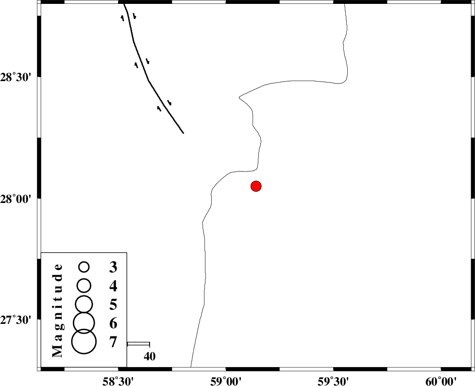
| Location | Lat:28.05 Lon: 59.14 |
| Region | Sistan va Baloochestan Province, 143 km North-East of Kahnuj |
Nearest Cities |
|
| 61 km North East of Borj-e abbasabad, Kerman Province | |
| 72 km North West of Kalemursi, Sistan va Baloochestan Province | |
| 73 km South of Hoseynabad, Kerman Province | |
| 79 km South East of Mohammadabad-e gonbaki, Kerman Province | |
| 94 km South East of Void, Kerman Province | |
| Depth | 15 km |
| Agency | |
Faults within 150 km: |
|
| BAM_F (Length: 118 km) , Distance to epicenter: 41 km | |
| KASKIN_F (Length: 100 km) , Distance to epicenter: 110 km | |
| KANURAK_F (Length: 135 km) , Distance to epicenter: 111 km | |
| Number of Phases | 4 |
| RMS | 0.2 |
| Number of Stations | 4 |
| Error in Latitude | >2.8 km |
| Error in Longitude | 2.1 km |
| Error in Depth | 0 km |
Download waveform in seisan format
to download seisan software Click here
to access information about IIEES stations Click here
Amplitude | ||||||||
| UID | Agency | Station | Component | Amplitude | Period | Arrival Time | Proccessing Time | Signal Clip |
| 82246 | IIEES | BNDS | N | 103.2 | 0.4 | 2012-03-10 23:00:48 | 2012-03-11 02:00:00 | n |
| 82247 | IIEES | BNDS | E | 114.6 | 0.4 | 2012-03-10 23:00:53 | 2012-03-11 02:00:00 | n |
| 82248 | IIEES | CHBR | N | 27.8 | 0.56 | 2012-03-10 23:01:18 | 2012-03-11 02:00:00 | n |
Phase | ||||||||||||
| Agency | Station | Component | Phase Type | Phase Quality | First Motion | Observed Arrival Time | Time Residual | Loc. Flag | Input Weight | Distance | Azimuth | |
| IIEES | ZHSF | Z | Pn | E | 2012-03-10 23:00:01 | -0.14 | y | 235 | 42 | |||
| IIEES | BNDS | Z | Pn | E | 2012-03-10 23:00:09 | -0.24 | y | 302 | 257 | |||
| IIEES | CHBR | Z | Pn | E | 2012-03-10 23:00:09 | 0.13 | y | 303 | 154 | |||
| IIEES | KRBR | Z | Pn | E | 2012-03-10 23:00:11 | 0.26 | y | 316 | 313 | |||