
Magnitude |
:2.6 |
| Date & Time (UTC) | 2011-09-07 02:32:33.9 |
| Date & Time (Local) | 1390/6/16 07:02:33.9 |
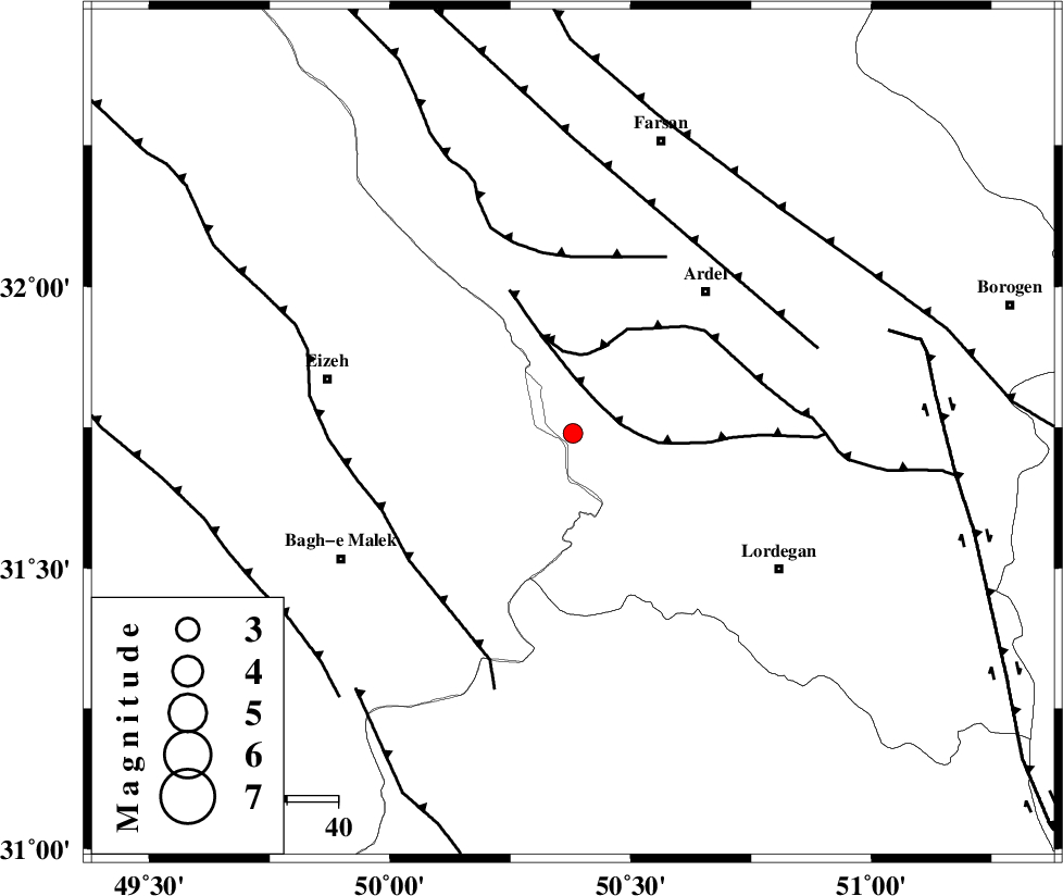
| Location | Lat:31.74 Lon: 50.38 |
| Region | Chaharmahal Bakhtiari Province, 38 km South-West of Ardel |
Nearest Cities |
|
| 10 km East of Dehdez, Khoozestan Province | |
| 16 km West of Sarkhun, Chaharmahal Bakhtiari Province | |
| 29 km South West of Dupelan, Chaharmahal Bakhtiari Province | |
| 38 km South West of Ardel, Chaharmahal Bakhtiari Province | |
| 40 km South West of Naghan, Chaharmahal Bakhtiari Province | |
| Depth | 15 km |
| Agency | |
Faults within 150 km: |
|
| SABZKUH_F (Length: 67 km) , Distance to epicenter: 8 km | |
| DOPOLAN_F (Length: 107 km) , Distance to epicenter: 16 km | |
| ZARDKUH_F (Length: 139 km) , Distance to epicenter: 35 km | |
| Number of Phases | 3 |
| RMS | 0 |
| Number of Stations | 3 |
| Error in Latitude | >3.4 km |
| Error in Longitude | 1.9 km |
| Error in Depth | 0 km |
Download waveform in seisan format
to download seisan software Click here
to access information about IIEES stations Click here
Amplitude | ||||||||
| UID | Agency | Station | Component | Amplitude | Period | Arrival Time | Proccessing Time | Signal Clip |
| 80190 | IIEES | SHGR | N | 87.1 | 0.12 | 2011-09-07 02:33:26 | 2011-09-07 02:55:00 | n |
| 80191 | IIEES | SHGR | E | 122.9 | 0.12 | 2011-09-07 02:33:29 | 2011-09-07 02:55:00 | n |
| 80192 | IIEES | KHMZ | E | 29.7 | 0.71 | 2011-09-07 02:33:44 | 2011-09-07 02:55:00 | n |
Phase | ||||||||||||
| Agency | Station | Component | Phase Type | Phase Quality | First Motion | Observed Arrival Time | Time Residual | Loc. Flag | Input Weight | Distance | Azimuth | |
| IIEES | SHGR | Z | Pg | E | 2011-09-07 02:32:59 | 0 | y | 155 | 286 | |||
| IIEES | KHMZ | Z | Pg | E | 2011-09-07 02:33:10 | 0.01 | y | 225 | 350 | |||
| IIEES | NASN | Z | Pn | E | 2011-09-07 02:33:13 | 0 | y | 257 | 62 | |||