
Magnitude |
:3.1 |
| Date & Time (UTC) | 2011-06-21 02:08:11.5 |
| Date & Time (Local) | 1390/3/31 06:38:11.5 |
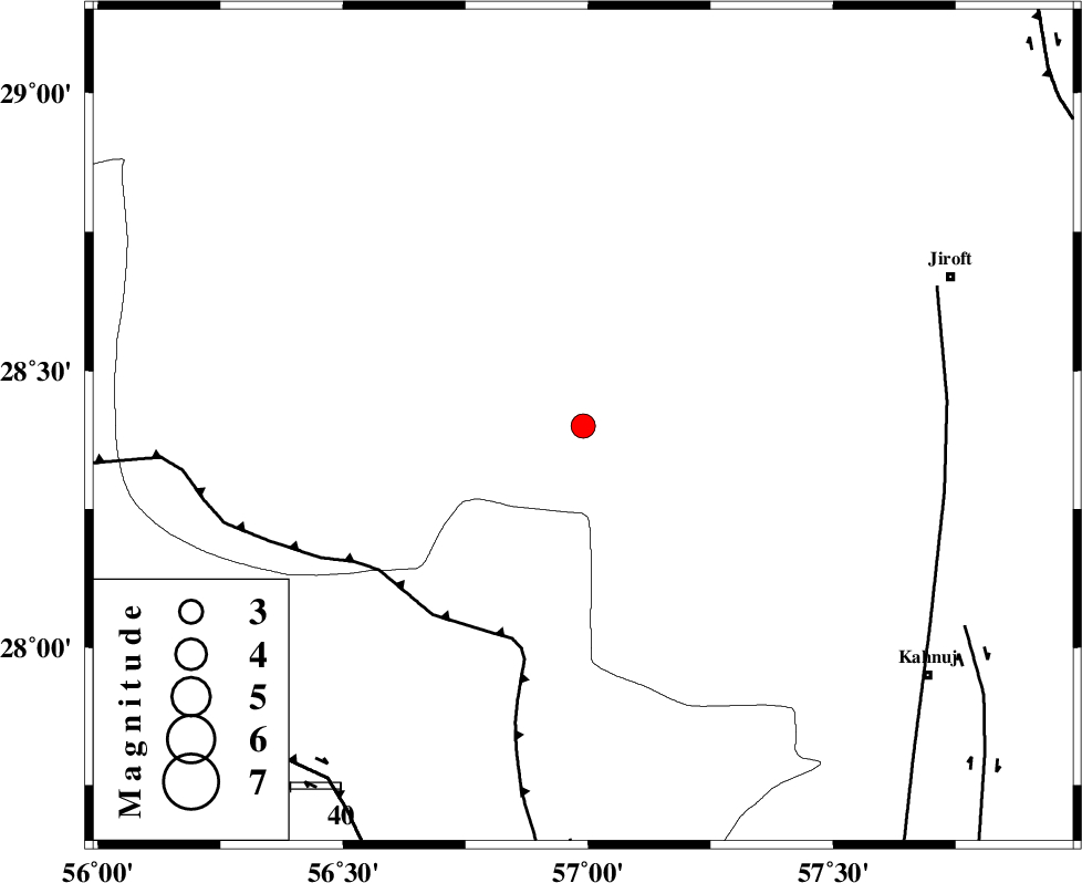
| Location | Lat:28.4 Lon: 56.99 |
| Region | Kerman Province, 80 km South-West of Jiroft |
Nearest Cities |
|
| 13 km North East of Sarkhan, Kerman Province | |
| 36 km South of Dolatabad, Kerman Province | |
| 39 km North West of Hurpasefid, Kerman Province | |
| 46 km North West of Faryab, Kerman Province | |
| 54 km North West of Mehrueye-e paeen, Kerman Province | |
| Depth | 15 km |
| Agency | |
Faults within 150 km: |
|
| MAIN_ZAGROS_R_F (Length: 1106 km) , Distance to epicenter: 45 km | |
| SABZEVARAN_F (Length: 190 km) , Distance to epicenter: 73 km | |
| ZENDAN_MINAB_F_Z1 (Length: 183 km) , Distance to epicenter: 83 km | |
| Number of Phases | 3 |
| RMS | 0 |
| Number of Stations | 3 |
| Error in Latitude | >1.7 km |
| Error in Longitude | 2.7 km |
| Error in Depth | 0 km |
Download waveform in seisan format
to download seisan software Click here
to access information about IIEES stations Click here
Amplitude | ||||||||
| UID | Agency | Station | Component | Amplitude | Period | Arrival Time | Proccessing Time | Signal Clip |
| 79383 | IIEES | BNDS | E | 1282.6 | 0.32 | 2011-06-21 02:08:53 | 2011-06-21 02:42:00 | n |
| 79384 | IIEES | BNDS | N | 689.3 | 0.8 | 2011-06-21 02:08:55 | 2011-06-21 02:42:00 | n |
| 79385 | IIEES | KRBR | E | 212.3 | 0.77 | 2011-06-21 02:09:12 | 2011-06-21 02:42:00 | n |
| 79386 | IIEES | KRBR | N | 209.4 | 0.1 | 2011-06-21 02:09:13 | 2011-06-21 02:42:00 | n |
| 79387 | IIEES | ZHSF | E | 10.8 | 0.49 | 2011-06-21 02:09:24 | 2011-06-21 02:42:00 | n |
Phase | ||||||||||||
| Agency | Station | Component | Phase Type | Phase Quality | First Motion | Observed Arrival Time | Time Residual | Loc. Flag | Input Weight | Distance | Azimuth | |
| IIEES | BNDS | Z | Pg | E | 2011-06-21 02:08:34 | 0 | y | 137 | 216 | |||
| IIEES | KRBR | Z | Pg | E | 2011-06-21 02:08:40 | 0 | y | 177 | 353 | |||
| IIEES | ZHSF | Z | Pn | E | 2011-06-21 02:09:08 | 0 | y | 393 | 69 | |||