
Magnitude |
:3.9 |
| Date & Time (UTC) | 2011-04-13 03:52:33.8 |
| Date & Time (Local) | 1390/1/24 08:22:33.8 |
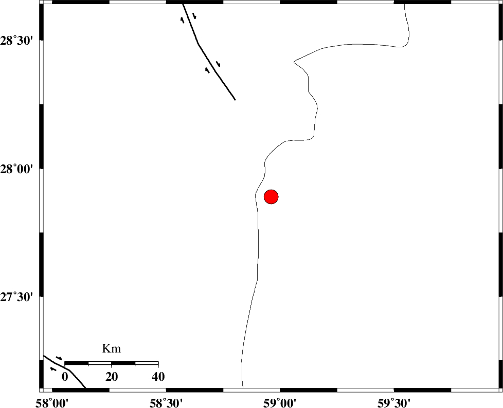
| Location | Lat:27.89 Lon: 58.96 |
| Region | Sistan va Baloochestan Province, 124 km East of Kahnuj |
Nearest Cities |
|
| 46 km South East of Borj-e abbasabad, Kerman Province | |
| 67 km North West of Kalemursi, Sistan va Baloochestan Province | |
| 91 km South West of Hoseynabad, Kerman Province | |
| 92 km South of Mohammadabad-e gonbaki, Kerman Province | |
| 92 km South East of Mardehak, Kerman Province | |
| Depth | 15 km |
| Agency | |
Faults within 150 km: |
|
| BAM_F (Length: 118 km) , Distance to epicenter: 45 km | |
| S_JAZMURIAN_F (Length: 91 km) , Distance to epicenter: 111 km | |
| JIROFT_F (Length: 144 km) , Distance to epicenter: 112 km | |
| Number of Phases | 4 |
| RMS | 0.4 |
| Number of Stations | 5 |
| Error in Latitude | >6.9 km |
| Error in Longitude | 4.9 km |
| Error in Depth | 0 km |
Download waveform in seisan format
to download seisan software Click here
to access information about IIEES stations Click here
Amplitude | ||||||||
| UID | Agency | Station | Component | Amplitude | Period | Arrival Time | Proccessing Time | Signal Clip |
| 78707 | IIEES | BNDS | N | 449.5 | 0.46 | 2011-04-13 03:53:59 | 2011-04-13 04:07:00 | n |
| 78708 | IIEES | TABS | E | 26.5 | 0.67 | 2011-04-13 03:55:44 | 2011-04-13 04:07:00 | n |
| 78709 | IIEES | TABS | N | 68 | 0.61 | 2011-04-13 03:55:48 | 2011-04-13 04:07:00 | n |
Phase | ||||||||||||
| Agency | Station | Component | Phase Type | Phase Quality | First Motion | Observed Arrival Time | Time Residual | Loc. Flag | Input Weight | Distance | Azimuth | |
| IIEES | ZHSF | Z | Pn | E | 2011-04-13 03:53:14 | 0.3 | y | 261 | 43 | |||
| IIEES | BNDS | Z | Pn | E | 2011-04-13 03:53:16 | 0.5 | y | 280 | 259 | |||
| IIEES | CHBR | Z | Pn | E | 2011-04-13 03:53:17 | -0.3 | y | 296 | 149 | |||
| IIEES | KRBR | Z | Pn | E | 2011-04-13 03:53:20 | -0.6 | y | 316 | 318 | |||