
Magnitude |
:3.1 |
| Date & Time (UTC) | 2011-01-31 15:08:30.1 |
| Date & Time (Local) | 1389/11/11 18:38:30.1 |
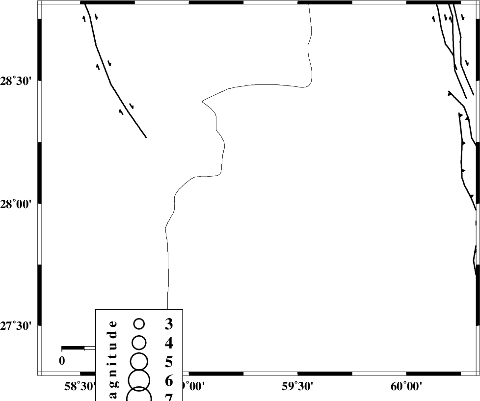
| Location | Lat:28.06 Lon: 59.32 |
| Region | Sistan va Baloochestan Province, 160 km North-East of Kahnuj |
Nearest Cities |
|
| 68 km North West of Kalemursi, Sistan va Baloochestan Province | |
| 76 km South East of Hoseynabad, Kerman Province | |
| 79 km North East of Borj-e abbasabad, Kerman Province | |
| 85 km South East of Mohammadabad-e gonbaki, Kerman Province | |
| 87 km North West of Bozman, Sistan va Baloochestan Province | |
| Depth | 14 km |
| Agency | |
Faults within 150 km: |
|
| BAM_F (Length: 118 km) , Distance to epicenter: 56 km | |
| KASKIN_F (Length: 100 km) , Distance to epicenter: 92 km | |
| DAMAN_F (Length: 167 km) , Distance to epicenter: 96 km | |
| Number of Phases | 4 |
| RMS | 0.3 |
| Number of Stations | 5 |
| Error in Latitude | >4.5 km |
| Error in Longitude | 3.9 km |
| Error in Depth | 0 km |
Download waveform in seisan format
to download seisan software Click here
to access information about IIEES stations Click here
Amplitude | ||||||||
| UID | Agency | Station | Component | Amplitude | Period | Arrival Time | Proccessing Time | Signal Clip |
| 77753 | IIEES | BNDS | N | 46.6 | 0.52 | 2011-01-31 15:10:05 | 2011-01-31 03:25:00 | n |
| 77754 | IIEES | BNDS | E | 80.2 | 0.52 | 2011-01-31 15:10:12 | 2011-01-31 03:25:00 | n |
| 77755 | IIEES | KRBR | N | 69.7 | 0.32 | 2011-01-31 15:10:08 | 2011-01-31 03:25:00 | n |
| 77756 | IIEES | KRBR | E | 55.6 | 0.24 | 2011-01-31 15:10:10 | 2011-01-31 03:25:00 | n |
Phase | ||||||||||||
| Agency | Station | Component | Phase Type | Phase Quality | First Motion | Observed Arrival Time | Time Residual | Loc. Flag | Input Weight | Distance | Azimuth | |
| IIEES | ZHSF | Z | Pn | E | 2011-01-31 15:09:05 | 0.1 | y | 223 | 39 | |||
| IIEES | CHBR | Z | Pn | E | 2011-01-31 15:09:14 | 0 | y | 296 | 157 | |||
| IIEES | KRBR | N | Pn | E | 2011-01-31 15:09:19 | 0.2 | y | 328 | 311 | |||
| IIEES | TABS | Z | Pn | E | 2011-01-31 15:09:58 | -0.6 | y | 655 | 342 | |||