
Magnitude |
:3.1 |
| Date & Time (UTC) | 2011-01-27 10:16:41.6 |
| Date & Time (Local) | 1389/11/7 13:46:41.6 |
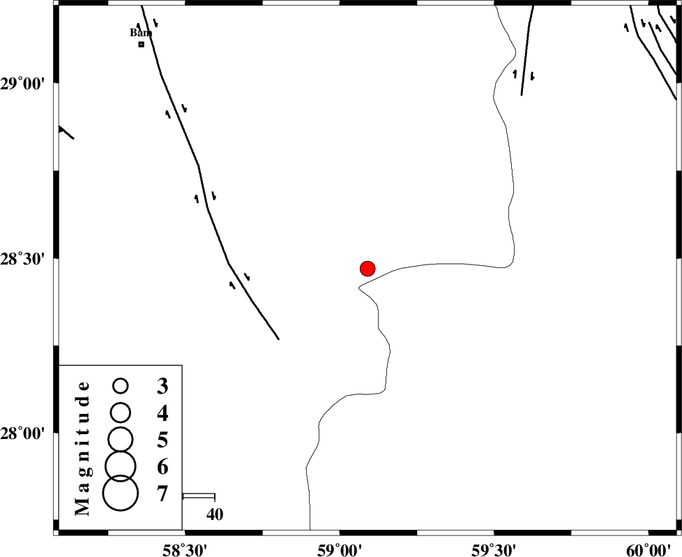
| Location | Lat:28.47 Lon: 59.09 |
| Region | Kerman Province, 101 km South-East of Bam |
Nearest Cities |
|
| 26 km South of Hoseynabad, Kerman Province | |
| 35 km South East of Mohammadabad-e gonbaki, Kerman Province | |
| 48 km South East of Void, Kerman Province | |
| 58 km South East of Fahroj, Kerman Province | |
| 70 km South East of Qasemabad, Kerman Province | |
| Depth | 15 km |
| Agency | |
Faults within 150 km: |
|
| BAM_F (Length: 118 km) , Distance to epicenter: 36 km | |
| KANURAK_F (Length: 135 km) , Distance to epicenter: 73 km | |
| GOWK_F (Length: 152 km) , Distance to epicenter: 102 km | |
| Number of Phases | 5 |
| RMS | 0.2 |
| Number of Stations | 5 |
| Error in Latitude | >2.9 km |
| Error in Longitude | 2.2 km |
| Error in Depth | 0 km |
Download waveform in seisan format
to download seisan software Click here
to access information about IIEES stations Click here
Amplitude | ||||||||
| UID | Agency | Station | Component | Amplitude | Period | Arrival Time | Proccessing Time | Signal Clip |
| 77400 | IIEES | KRBR | E | 54.7 | 0.36 | 2011-01-27 10:18:06 | 2011-01-27 10:38:00 | n |
| 77401 | IIEES | BNDS | N | 100.6 | 0.4 | 2011-01-27 10:18:06 | 2011-01-27 10:38:00 | n |
Phase | ||||||||||||
| Agency | Station | Component | Phase Type | Phase Quality | First Motion | Observed Arrival Time | Time Residual | Loc. Flag | Input Weight | Distance | Azimuth | |
| IIEES | ZHSF | Z | Pn | E | 2011-01-27 10:17:14 | -0.2 | y | 207 | 52 | |||
| IIEES | KRBR | Z | Pn | E | 2011-01-27 10:17:24 | -0.1 | y | 282 | 307 | |||
| IIEES | BNDS | Z | Pn | E | 2011-01-27 10:17:28 | 0 | y | 311 | 248 | |||
| IIEES | CHBR | Z | Pn | E | 2011-01-27 10:17:32 | 0.1 | y | 347 | 156 | |||
| IIEES | SHRT | Z | Pn | E | 2011-01-27 10:18:02 | 0.4 | y | 585 | 11 | |||