
Magnitude |
:3.4 |
| Date & Time (UTC) | 2011-01-27 10:02:04.6 |
| Date & Time (Local) | 1389/11/7 13:32:04.6 |
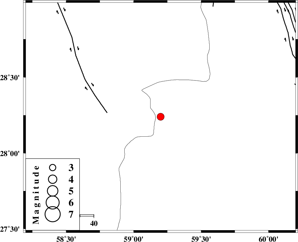
| Location | Lat:28.24 Lon: 59.2 |
| Region | Sistan va Baloochestan Province, 127 km South-East of Bam |
Nearest Cities |
|
| 53 km South East of Hoseynabad, Kerman Province | |
| 62 km South East of Mohammadabad-e gonbaki, Kerman Province | |
| 71 km North East of Borj-e abbasabad, Kerman Province | |
| 76 km South East of Void, Kerman Province | |
| 85 km South East of Fahroj, Kerman Province | |
| Depth | 15 km |
| Agency | |
Faults within 150 km: |
|
| BAM_F (Length: 118 km) , Distance to epicenter: 39 km | |
| KANURAK_F (Length: 135 km) , Distance to epicenter: 89 km | |
| DAMAN_F (Length: 167 km) , Distance to epicenter: 100 km | |
| Number of Phases | 5 |
| RMS | 0.7 |
| Number of Stations | 5 |
| Error in Latitude | >8.6 km |
| Error in Longitude | 6.8 km |
| Error in Depth | 0 km |
Download waveform in seisan format
to download seisan software Click here
to access information about IIEES stations Click here
Amplitude | ||||||||
| UID | Agency | Station | Component | Amplitude | Period | Arrival Time | Proccessing Time | Signal Clip |
| 77395 | IIEES | BNDS | N | 122.2 | 0.43 | 2011-01-27 10:03:33 | 2011-01-27 10:48:00 | n |
| 77396 | IIEES | BNDS | E | 121.8 | 0.52 | 2011-01-27 10:03:35 | 2011-01-27 10:48:00 | n |
Phase | ||||||||||||
| Agency | Station | Component | Phase Type | Phase Quality | First Motion | Observed Arrival Time | Time Residual | Loc. Flag | Input Weight | Distance | Azimuth | |
| IIEES | ZHSF | Z | Pn | E | 2011-01-27 10:02:39 | 0.6 | y | 216 | 45 | |||
| IIEES | KRBR | Z | Pn | E | 2011-01-27 10:02:49 | -0.8 | y | 306 | 310 | |||
| IIEES | BNDS | Z | Pn | E | 2011-01-27 10:02:51 | 0.9 | y | 312 | 253 | |||
| IIEES | CHBR | Z | Pn | E | 2011-01-27 10:02:51 | -0.5 | y | 319 | 156 | |||
| IIEES | SHRT | Z | Pn | E | 2011-01-27 10:03:27 | -0.4 | y | 609 | 10 | |||