
Magnitude |
:3.2 |
| Date & Time (UTC) | 2010-11-25 07:54:27.3 |
| Date & Time (Local) | 1389/9/4 11:24:27.3 |
| Location | Lat:36.17 Lon: 53.24 |
| Region | Mazandaran Province, 17 km East of Pol-E-Sefid |
Nearest Cities |
|
| 11 km North of Sangdeh, Mazandaran Province | |
| 18 km North East of Pol-E-Sefid, Mazandaran Province | |
| 19 km North East of Shurmast-e peyrudbar, Mazandaran Province | |
| 19 km South West of Khalkhil, Mazandaran Province | |
| 21 km East of Utu, Mazandaran Province | |
| Depth | 18 km |
| Agency | |
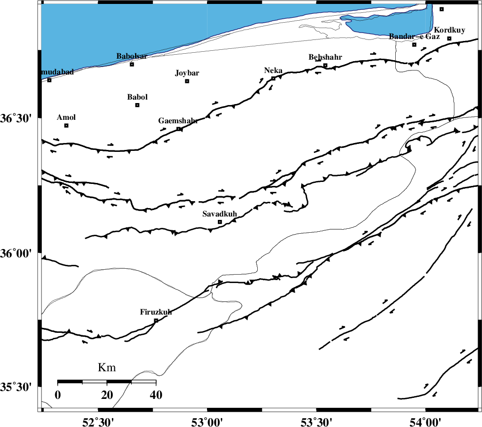
Faults within 150 km: |
|
| N_ALBORZ_F (Length: 360 km) , Distance to epicenter: 8 km | |
| KHAZAR_F (Length: 523 km) , Distance to epicenter: 41 km | |
| ATARI_F (Length: 185 km) , Distance to epicenter: 52 km | |
| Number of Phases | 8 |
| RMS | 0.2 |
| Number of Stations | 7 |
| Error in Latitude | >4.8 km |
| Error in Longitude | 4.8 km |
| Error in Depth | 8.9 km |
Download waveform in seisan format
to download seisan software Click here
to access information about IIEES stations Click here
Amplitude | ||||||||
| UID | Agency | Station | Component | Amplitude | Period | Arrival Time | Proccessing Time | Signal Clip |
| 74470 | IIEES | DAMV | N | 450.6 | 0.41 | 2010-11-25 07:55:07 | 2010-11-25 08:50:00 | n |
| 74471 | IIEES | GHVR | N | 77.4 | 0.37 | 2010-11-25 07:55:45 | 2010-11-25 08:50:00 | n |
| 74472 | IIEES | GHVR | E | 241.5 | 0.37 | 2010-11-25 07:55:48 | 2010-11-25 08:50:00 | n |
| 74473 | IIEES | ASAO | E | 43.7 | 0.63 | 2010-11-25 07:56:06 | 2010-11-25 08:50:00 | n |
Phase | ||||||||||||
| Agency | Station | Component | Phase Type | Phase Quality | First Motion | Observed Arrival Time | Time Residual | Loc. Flag | Input Weight | Distance | Azimuth | |
| IIEES | DAMV | Z | Pg | E | 2010-11-25 07:54:48 | -0.1 | y | 129 | 243 | |||
| IIEES | DAMV | N | Sg | E | 2010-11-25 07:55:05 | 0.1 | y | 129 | 243 | |||
| IIEES | CHTH | Z | Pg | E | 2010-11-25 07:54:59 | 0.1 | y | 192 | 262 | |||
| IIEES | CHTH | N | Sg | E | 2010-11-25 07:55:22 | 0 | y | 192 | 262 | |||
| IIEES | SHRO | Z | Pn | E | 2010-11-25 07:55:06 | 0.3 | y | 251 | 93 | |||
| IIEES | GHVR | Z | Pn | E | 2010-11-25 07:55:07 | -0.1 | y | 261 | 225 | |||
| IIEES | MRVT | Z | Pn | E | 2010-11-25 07:55:12 | -0.2 | y | 303 | 56 | |||
| IIEES | NASN | Z | Pn | E | 2010-11-25 07:55:21 | -0.2 | y | 376 | 186 | |||