
Magnitude |
:2.6 |
| Date & Time (UTC) | 2010-11-15 04:57:12.1 |
| Date & Time (Local) | 1389/8/24 08:27:12.1 |
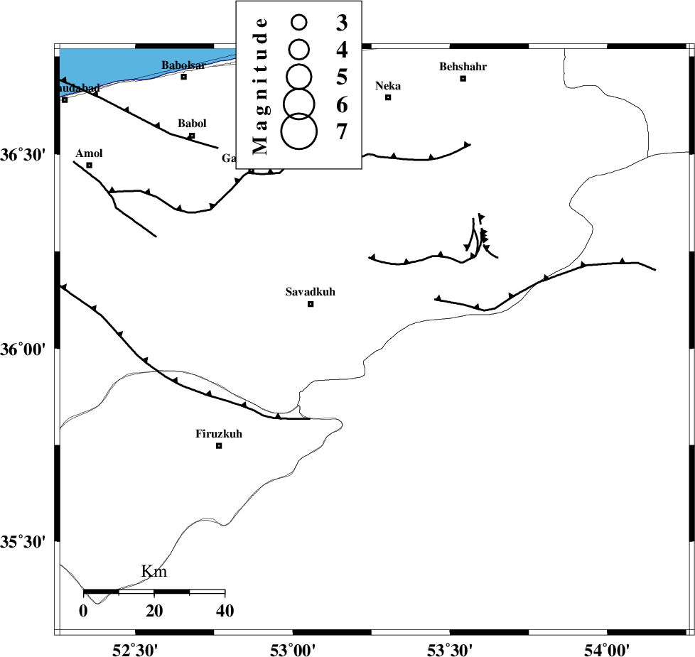
| Location | Lat:36.02 Lon: 53.26 |
| Region | Mazandaran Province, 21 km East of Pol-E-Sefid |
Nearest Cities |
|
| 6 km of Sangdeh, Mazandaran Province | |
| 14 km North of Chashem, Semnan Province | |
| 20 km East of Shurmast-e peyrudbar, Mazandaran Province | |
| 21 km East of Pol-E-Sefid, Mazandaran Province | |
| 27 km East of Elahband, Mazandaran Province | |
| Depth | 14 km |
| Agency | |
Faults within 150 km: |
|
| N_ALBORZ_F (Length: 360 km) , Distance to epicenter: 22 km | |
| ATARI_F (Length: 185 km) , Distance to epicenter: 36 km | |
| DAMGHAN_F (Length: 95 km) , Distance to epicenter: 54 km | |
| Number of Phases | 7 |
| RMS | 0.2 |
| Number of Stations | 6 |
| Error in Latitude | >4.6 km |
| Error in Longitude | 5.1 km |
| Error in Depth | 9.2 km |
Download waveform in seisan format
to download seisan software Click here
to access information about IIEES stations Click here
Amplitude | ||||||||
| UID | Agency | Station | Component | Amplitude | Period | Arrival Time | Proccessing Time | Signal Clip |
| 73490 | IIEES | GHVR | E | 51.5 | 0.38 | 2010-11-15 04:58:31 | 2010-11-15 05:39:00 | n |
| 73491 | IIEES | NASN | N | 11.8 | 0.42 | 2010-11-15 04:59:02 | 2010-11-15 05:39:00 | n |
| 73492 | IIEES | NASN | E | 17.5 | 0.57 | 2010-11-15 04:59:03 | 2010-11-15 05:39:00 | n |
Phase | ||||||||||||
| Agency | Station | Component | Phase Type | Phase Quality | First Motion | Observed Arrival Time | Time Residual | Loc. Flag | Input Weight | Distance | Azimuth | |
| IIEES | DAMV | Z | Pg | E | 2010-11-15 04:57:32 | -0.4 | y | 124 | 250 | |||
| IIEES | DAMV | N | Sg | E | 2010-11-15 04:57:48 | 0 | y | 124 | 250 | |||
| IIEES | CHTH | Z | Pg | E | 2010-11-15 04:57:44 | 0.1 | y | 193 | 267 | |||
| IIEES | SHRO | Z | Pn | E | 2010-11-15 04:57:50 | -0.1 | y | 248 | 89 | |||
| IIEES | GHVR | Z | Pn | E | 2010-11-15 04:57:50 | 0.1 | y | 250 | 228 | |||
| IIEES | GHVR | N | Sg | E | 2010-11-15 04:58:22 | 0.1 | y | 250 | 228 | |||
| IIEES | MRVT | Z | Pn | E | 2010-11-15 04:57:58 | 0.2 | y | 311 | 53 | |||