
Magnitude |
:2.8 |
| Date & Time (UTC) | 2010-07-22 00:51:20.8 |
| Date & Time (Local) | 1389/4/31 05:21:20.8 |
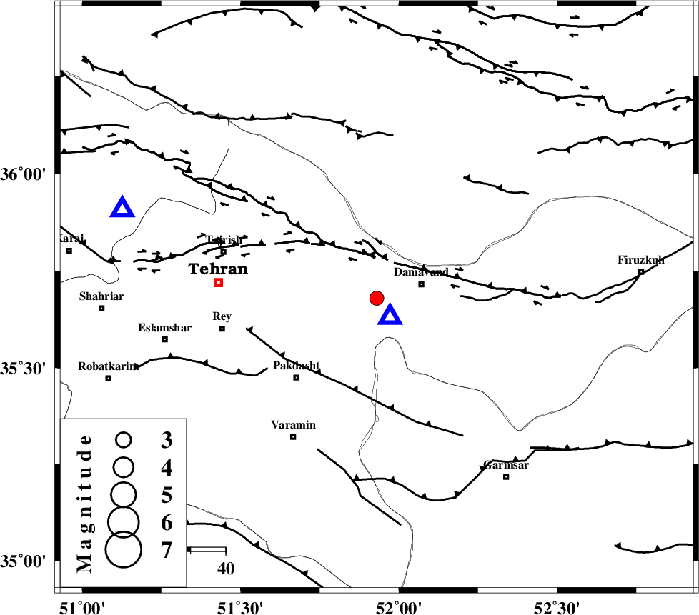
| Location | Lat:35.68 Lon: 51.93 |
| Region | Tehran Province, 13 km West of Damavand |
Nearest Cities |
|
| 8 km of Rudehen, Tehran Province | |
| 8 km North of Ab sard, Tehran Province | |
| 9 km of Bumehen, Tehran Province | |
| 12 km of Abali, Tehran Province | |
| 13 km West of Damavand, Tehran Province | |
| Depth | 14 km |
| Agency | |
Faults within 150 km: |
|
| MOSHA_F (Length: 234 km) , Distance to epicenter: 14 km | |
| N_TEHRAN_F4 (Length: 115 km) , Distance to epicenter: 21 km | |
| EYVANEKEY_F (Length: 74 km) , Distance to epicenter: 27 km | |
| Number of Phases | 4 |
| RMS | 0.1 |
| Number of Stations | 3 |
| Error in Latitude | >4.1 km |
| Error in Longitude | 10 km |
| Error in Depth | 7.4 km |
Download waveform in seisan format
to download seisan software Click here
to access information about IIEES stations Click here
Amplitude | ||||||||
| UID | Agency | Station | Component | Amplitude | Period | Arrival Time | Proccessing Time | Signal Clip |
| 66370 | IIEES | DAMV | N | 7418.3 | 0.14 | 2010-07-22 00:51:26 | 2010-07-22 01:18:00 | n |
| 66371 | IIEES | DAMV | E | 8401.2 | 0.16 | 2010-07-22 00:51:26 | 2010-07-22 01:18:00 | n |
| 66372 | IIEES | CHTH | N | 151.5 | 0.11 | 2010-07-22 00:51:44 | 2010-07-22 01:18:00 | n |
| 66373 | IIEES | ASAO | E | 27.1 | 1.18 | 2010-07-22 00:52:24 | 2010-07-22 01:18:00 | n |
Phase | ||||||||||||
| Agency | Station | Component | Phase Type | Phase Quality | First Motion | Observed Arrival Time | Time Residual | Loc. Flag | Input Weight | Distance | Azimuth | |
| IIEES | DAMV | Z | Pg | E | 2010-07-22 00:51:24 | 0.1 | y | 7.02 | 146 | |||
| IIEES | DAMV | E | Sg | E | 2010-07-22 00:51:26 | -0.1 | y | 7.02 | 146 | |||
| IIEES | CHTH | Z | Pg | E | 2010-07-22 00:51:34 | 0 | y | 76.7 | 289 | |||
| IIEES | ASAO | Z | Pg | E | 2010-07-22 00:51:56 | 0 | y | 214 | 235 | |||