
Magnitude |
:2.9 |
| Date & Time (UTC) | 2010-06-14 20:03:17.3 |
| Date & Time (Local) | 1389/3/25 00:33:17.3 |
| Location | Lat:33.83 Lon: 47.89 |
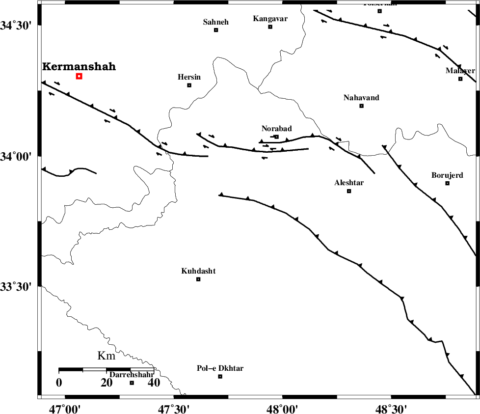
| Region | Lorestan Province, 29 km South of Nurabad |
Nearest Cities |
|
| 19 km South West of Farhadabad, Lorestan Province | |
| 25 km West of Firuz Abad, Lorestan Province | |
| 26 km South of Zafarabad, Lorestan Province | |
| 28 km South of Nurabad, Lorestan Province | |
| 32 km South East of Kahrizvardasht-e olia, Lorestan Province | |
| Depth | 15 km |
| Agency | |
Faults within 150 km: |
|
| HZF4 (Length: 492 km) , Distance to epicenter: 13 km | |
| SAHANEH_F (Length: 77 km) , Distance to epicenter: 50 km | |
| NAHAVAND_F (Length: 102 km) , Distance to epicenter: 59 km | |
| Number of Phases | 6 |
| RMS | 0.5 |
| Number of Stations | 4 |
| Error in Latitude | >5 km |
| Error in Longitude | 9.1 km |
| Error in Depth | 71.4 km |
Download waveform in seisan format
to download seisan software Click here
to access information about IIEES stations Click here
Amplitude | ||||||||
| UID | Agency | Station | Component | Amplitude | Period | Arrival Time | Proccessing Time | Signal Clip |
| 64600 | IIEES | SNGE | E | 106 | 0.68 | 2010-06-14 20:04:09 | 2010-06-16 09:02:00 | n |
| 64601 | IIEES | SNGE | N | 160.6 | 0.6 | 2010-06-14 20:04:09 | 2010-06-16 09:02:00 | n |
| 64602 | IIEES | KHMZ | N | 104.2 | 0.56 | 2010-06-14 20:04:16 | 2010-06-16 09:02:00 | n |
| 64603 | IIEES | KHMZ | E | 125.4 | 0.56 | 2010-06-14 20:04:17 | 2010-06-16 09:02:00 | n |
| 64604 | IIEES | SHGR | E | 287.2 | 0.64 | 2010-06-14 20:04:18 | 2010-06-16 09:02:00 | n |
| 64605 | IIEES | SHGR | N | 146.9 | 0.4 | 2010-06-14 20:04:22 | 2010-06-16 09:02:00 | n |
Phase | ||||||||||||
| Agency | Station | Component | Phase Type | Phase Quality | First Motion | Observed Arrival Time | Time Residual | Loc. Flag | Input Weight | Distance | Azimuth | |
| IIEES | SNGE | Z | Pg | E | 2010-06-14 20:03:42 | 0.3 | y | 149 | 341 | |||
| IIEES | KHMZ | Z | Pg | E | 2010-06-14 20:03:48 | -0.1 | y | 192 | 92 | |||
| IIEES | SHGR | Z | Pg | E | 2010-06-14 20:03:51 | -0.3 | y | 209 | 156 | |||
| IIEES | SHGR | E | Sg | E | 2010-06-14 20:04:16 | 0.4 | y | 209 | 156 | |||
| IIEES | ASAO | Z | Pg | E | 2010-06-14 20:03:51 | -0.8 | y | 212 | 67 | |||
| IIEES | ASAO | E | Sg | E | 2010-06-14 20:04:18 | 0.5 | y | 212 | 67 | |||