
Magnitude |
:3.5 |
| Date & Time (UTC) | 2010-06-08 13:47:11.9 |
| Date & Time (Local) | 1389/3/18 18:17:11.9 |
| Location | Lat:31.01 Lon: 50.21 |
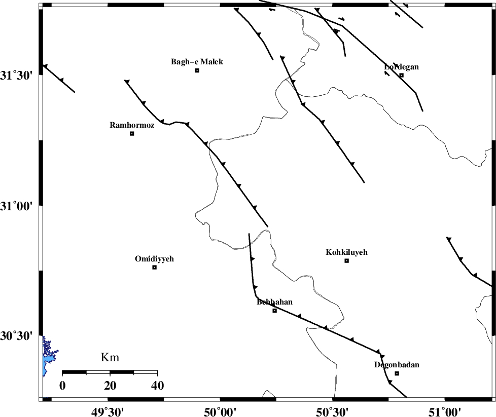
| Region | Kohkiluieh va boyerahmad Province, 46 km North of Behbahan |
Nearest Cities |
|
| 21 km North West of Lendeh, Kohkiluieh va boyerahmad Province | |
| 30 km South West of Qale-ye raiesi, Kohkiluieh va boyerahmad Province | |
| 31 km South of Esfandan, Kohkiluieh va boyerahmad Province | |
| 33 km North of Dodange-ye bozorg, Khoozestan Province | |
| 36 km South West of Dishmuk, Kohkiluieh va boyerahmad Province | |
| Depth | 14 km |
| Agency | |
Faults within 150 km: |
|
| MFF4 (Length: 62 km) , Distance to epicenter: 7 km | |
| MFF2 (Length: 205 km) , Distance to epicenter: 30 km | |
| DEZFUL_EMBAYMENT (Length: 228 km) , Distance to epicenter: 42 km | |
| Number of Phases | 5 |
| RMS | 0.2 |
| Number of Stations | 4 |
| Error in Latitude | >6.2 km |
| Error in Longitude | 6 km |
| Error in Depth | 13.4 km |
Download waveform in seisan format
to download seisan software Click here
to access information about IIEES stations Click here
Amplitude | ||||||||
| UID | Agency | Station | Component | Amplitude | Period | Arrival Time | Proccessing Time | Signal Clip |
| 63870 | IIEES | SHGR | E | 762.1 | 0.79 | 2010-06-08 13:48:09 | 2010-06-08 02:11:00 | n |
| 63871 | IIEES | SHGR | N | 1148.1 | 0.89 | 2010-06-08 13:48:10 | 2010-06-08 02:11:00 | n |
| 63872 | IIEES | KHMZ | E | 119.1 | 0.88 | 2010-06-08 13:48:51 | 2010-06-08 02:11:00 | n |
| 63873 | IIEES | ASAO | N | 46.5 | 0.28 | 2010-06-08 13:49:09 | 2010-06-08 02:11:00 | n |
Phase | ||||||||||||
| Agency | Station | Component | Phase Type | Phase Quality | First Motion | Observed Arrival Time | Time Residual | Loc. Flag | Input Weight | Distance | Azimuth | |
| IIEES | SHGR | Z | Pg | E | 2010-06-08 13:47:41 | -0.3 | y | 181 | 313 | |||
| IIEES | SHGR | E | Sg | E | 2010-06-08 13:48:03 | 0.2 | y | 181 | 313 | |||
| IIEES | KHMZ | E | Sg | E | 2010-06-08 13:48:37 | -0.1 | y | 304 | 356 | |||
| IIEES | NASN | Z | Pn | E | 2010-06-08 13:47:59 | 0.1 | y | 316 | 50 | |||
| IIEES | ASAO | Z | Pn | E | 2010-06-08 13:48:08 | 0.2 | y | 393 | 358 | |||