
Magnitude |
:4.3 |
| Date & Time (UTC) | 2009-04-07 17:32:52.5 |
| Date & Time (Local) | 1388/1/18 22:02:52.5 |
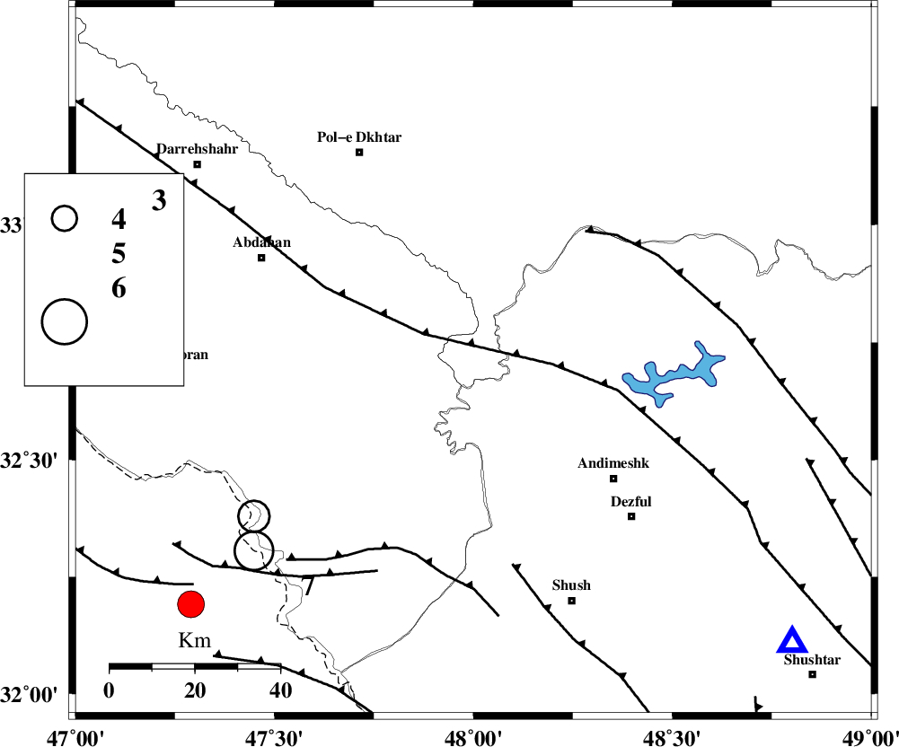
| Location | Lat:32.71 Lon: 48 |
| Region | 43 km North-West of Andimeshk, Khoozestan Province |
Nearest Cities |
|
| 23 km West of Bidruyeh, Khoozestan Province | |
| 23 km North West of Hoseinieh, Khoozestan Province | |
| 31 km West of Sorkhakan, Khoozestan Province | |
| 43 km North West of Andimeshk, Khoozestan Province | |
| 46 km South East of Sarabbagh, Ilam Province | |
| Depth | 14 km |
| Agency | |
Faults within 150 km: |
|
| BALARUD_F_Z1 (Length: 87 km) , Distance to epicenter: 6 km | |
| BALARUD_F_Z3 (Length: 53 km) , Distance to epicenter: 15 km | |
| DEZFUL_EMBAYMENT (Length: 228 km) , Distance to epicenter: 19 km | |
| Number of Phases | 6 |
| RMS | 0.2 |
| Number of Stations | 5 |
| Error in Latitude | >2.8 km |
| Error in Longitude | 5.7 km |
| Error in Depth | 7.6 km |
Download waveform in seisan format
to download seisan software Click here
to access information about IIEES stations Click here
Amplitude | ||||||||
| UID | Agency | Station | Component | Amplitude | Period | Arrival Time | Proccessing Time | Signal Clip |
| 52402 | IIEES | SHGR | E | 11022.1 | 0.6 | 2009-04-07 17:33:45 | 2009-07-13 01:52:00 | n |
| 52403 | IIEES | SNGE | E | 1237.5 | 0.74 | 2009-04-07 17:34:16 | 2009-07-13 01:52:00 | n |
Phase | ||||||||||||
| Agency | Station | Component | Phase Type | Phase Quality | First Motion | Observed Arrival Time | Time Residual | Loc. Flag | Input Weight | Distance | Azimuth | |
| IIEES | SHGR | Z | Pg | E | 2009-04-07 17:33:09 | 0 | y | 101 | 131 | |||
| IIEES | SNGE | Z | Pn | E | 2009-04-07 17:33:33 | -0.2 | y | 271 | 347 | |||
| IIEES | THKV | Z | Pn | E | 2009-04-07 17:33:55 | 0.3 | y | 443 | 36 | |||
| IIEES | NASN | Z | PN5 | E | 2009-04-07 17:33:56 | -0.1 | y | 451 | 87 | |||
| IIEES | DAMV | Z | PN5 | E | 2009-04-07 17:34:01 | 0.2 | y | 489 | 47 | |||
| IIEES | DAMV | N | Sg | E | 2009-04-07 17:35:08 | -0.2 | y | 489 | 47 | |||