
Magnitude |
:3.3 |
| Date & Time (UTC) | 2007-08-31 02:19:55.4 |
| Date & Time (Local) | 1386/6/9 05:49:55.4 |
| Location | Lat:31.4 Lon: 47.73 |
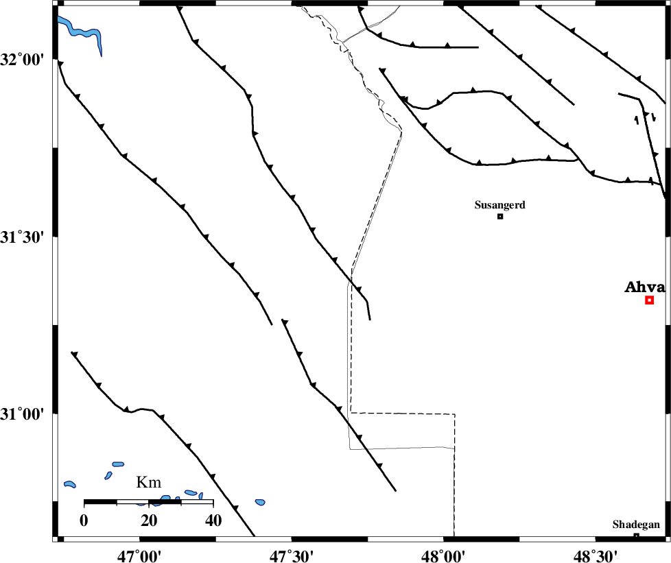
| Region | 46 km South-West of Susangerd, Khoozestan Province |
Nearest Cities |
|
| 33 km West of Hoveizeh, Khoozestan Province | |
| 43 km South West of Bostan, Khoozestan Province | |
| 47 km South West of Susangerd, Khoozestan Province | |
| 53 km South West of Jalaliyeh, Khoozestan Province | |
| 67 km West of Hamidiyeh, Khoozestan Province | |
| Depth | 14 km |
| Agency | |
Faults within 150 km: |
|
| AHVAZ_F (Length: 99 km) , Distance to epicenter: 52 km | |
| DEZFUL_EMBAYMENT (Length: 228 km) , Distance to epicenter: 139 km | |
| MFF6 (Length: 144 km) , Distance to epicenter: 143 km | |
| Number of Phases | 6 |
| RMS | 0.3 |
| Number of Stations | 5 |
| Error in Latitude | >10 km |
| Error in Longitude | 8.2 km |
| Error in Depth | 10.3 km |
Download waveform in seisan format
to download seisan software Click here
to access information about IIEES stations Click here
Amplitude | ||||||||
| UID | Agency | Station | Component | Amplitude | Period | Arrival Time | Proccessing Time | Signal Clip |
| 39630 | IIEES | SHGR | N | 615.6 | 0.4 | 2007-08-31 02:20:44 | 2007-11-04 01:43:00 | n |
| 39631 | IIEES | SHGR | E | 781.3 | 0.6 | 2007-08-31 02:20:47 | 2007-11-04 01:43:00 | n |
| 39632 | IIEES | SNGE | N | 47.7 | 0.62 | 2007-08-31 02:21:47 | 2007-11-04 01:43:00 | n |
Phase | ||||||||||||
| Agency | Station | Component | Phase Type | Phase Quality | First Motion | Observed Arrival Time | Time Residual | Loc. Flag | Input Weight | Distance | Azimuth | |
| IIEES | SHGR | Z | Pg | E | 2007-08-31 02:20:16 | -0.1 | y | 128 | 52 | |||
| IIEES | SHGR | N | Sg | E | 2007-08-31 02:20:32 | 0 | y | 128 | 52 | |||
| IIEES | ASAO | Z | Pn | E | 2007-08-31 02:20:54 | 0.1 | y | 410 | 31 | |||
| IIEES | SNGE | Z | Pn | E | 2007-08-31 02:20:54 | -0.2 | y | 412 | 355 | |||
| IIEES | GHVR | Z | Pn | E | 2007-08-31 02:21:02 | 0.5 | y | 474 | 43 | |||
| IIEES | NASN | Z | Pn | E | 2007-08-31 02:21:05 | -0.3 | y | 504 | 71 | |||