
Magnitude |
:3.1 |
| Date & Time (UTC) | 2007-09-08 21:06:23.2 |
| Date & Time (Local) | 1386/6/18 00:36:23.2 |
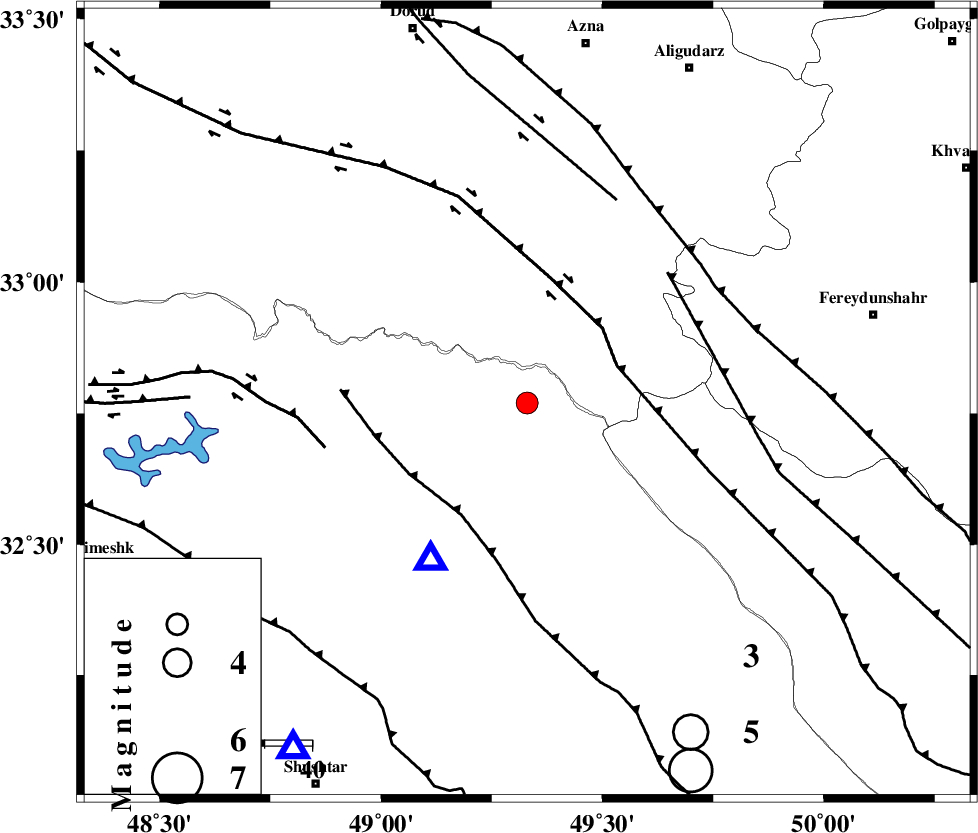
| Location | Lat:32.77 Lon: 49.33 |
| Region | 47 km North-East of Lali, Khoozestan Province |
Nearest Cities |
|
| 20 km South West of Parchal, Lorestan Province | |
| 47 km North East of Lali, Khoozestan Province | |
| 48 km South East of Bargsar, Lorestan Province | |
| 49 km East of Shuy, Khoozestan Province | |
| 49 km South East of Shulabad, Lorestan Province | |
| Depth | 15 km |
| Agency | |
Faults within 150 km: |
|
| ZARDKUH_F (Length: 139 km) , Distance to epicenter: 21 km | |
| HZF4 (Length: 492 km) , Distance to epicenter: 21 km | |
| MFF2 (Length: 205 km) , Distance to epicenter: 27 km | |
| Number of Phases | 5 |
| RMS | 0.1 |
| Number of Stations | 4 |
| Error in Latitude | >2.8 km |
| Error in Longitude | 3.4 km |
| Error in Depth | 4.9 km |
Download waveform in seisan format
to download seisan software Click here
to access information about IIEES stations Click here
Amplitude | ||||||||
| UID | Agency | Station | Component | Amplitude | Period | Arrival Time | Proccessing Time | Signal Clip |
| 39008 | IIEES | SHGR | N | 668.9 | 0.27 | 2007-09-08 21:06:57 | 2007-11-04 01:43:00 | n |
| 39009 | IIEES | SHGR | E | 769.7 | 0.64 | 2007-09-08 21:06:59 | 2007-11-04 01:43:00 | n |
| 39010 | IIEES | GHVR | E | 99.7 | 0.68 | 2007-09-08 21:07:39 | 2007-11-04 01:43:00 | n |
Phase | ||||||||||||
| Agency | Station | Component | Phase Type | Phase Quality | First Motion | Observed Arrival Time | Time Residual | Loc. Flag | Input Weight | Distance | Azimuth | |
| IIEES | SHGR | Z | Pg | E | 2007-09-08 21:06:38 | 0 | y | 89 | 214 | |||
| IIEES | GHVR | Z | Pn | E | 2007-09-08 21:07:03 | 0.2 | y | 260 | 43 | |||
| IIEES | GHVR | E | Sg | E | 2007-09-08 21:07:36 | 0 | y | 260 | 43 | |||
| IIEES | SNGE | Z | Pn | E | 2007-09-08 21:07:10 | -0.1 | y | 316 | 325 | |||
| IIEES | NASN | Z | Pn | E | 2007-09-08 21:07:11 | -0.2 | y | 326 | 89 | |||