
Magnitude |
:2.8 |
| Date & Time (UTC) | 2004-11-13 15:05:50.5 |
| Date & Time (Local) | 1383/8/23 18:35:50.5 |
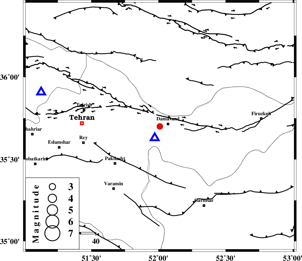
| Location | Lat:35.7 Lon: 52.01 |
| Region | 6 km Damavand, Tehran Province |
Nearest Cities |
|
| 5 km North of Ab sard, Tehran Province | |
| 6 km of Damavand, Tehran Province | |
| 7 km of Abali, Tehran Province | |
| 13 km East of Rudehen, Tehran Province | |
| 14 km East of Bumehen, Tehran Province | |
| Depth | 18 km |
| Agency | |
Faults within 150 km: |
|
| MOSHA_F (Length: 234 km) , Distance to epicenter: 8 km | |
| N_TEHRAN_F4 (Length: 115 km) , Distance to epicenter: 25 km | |
| EYVANEKEY_F (Length: 74 km) , Distance to epicenter: 32 km | |
| Number of Phases | 5 |
| RMS | 0.1 |
| Number of Stations | 4 |
| Error in Latitude | >5 km |
| Error in Longitude | 5.3 km |
| Error in Depth | 1.7 km |
Download waveform in seisan format
to download seisan software Click here
to access information about IIEES stations Click here
Amplitude | ||||||||
| UID | Agency | Station | Component | Amplitude | Period | Arrival Time | Proccessing Time | Signal Clip |
| 30941 | IIEES | THKV | E | 252.8 | 0.12 | 2004-11-13 15:06:22 | 2006-03-15 11:56:00 | n |
| 30942 | IIEES | THKV | N | 601.4 | 0.36 | 2004-11-13 15:06:22 | 2006-03-15 11:56:00 | n |
| 30943 | IIEES | ASAO | E | 30.7 | 0.26 | 2004-11-13 15:06:55 | 2006-03-15 11:56:00 | n |
Phase | ||||||||||||
| Agency | Station | Component | Phase Type | Phase Quality | First Motion | Observed Arrival Time | Time Residual | Loc. Flag | Input Weight | Distance | Azimuth | |
| IIEES | DAMV | Z | PG | E | 2004-11-13 15:05:54 | 0.1 | y | 8.71 | 202 | |||
| IIEES | DAMV | N | SG | E | 2004-11-13 15:05:57 | -0.1 | y | 8.71 | 202 | |||
| IIEES | THKV | Z | PG | E | 2004-11-13 15:06:08 | -0.1 | y | 105 | 283 | |||
| IIEES | ASAO | E | PG | E | 2004-11-13 15:06:26 | 0.1 | y | 221 | 235 | |||
| IIEES | NASN | Z | PN | E | 2004-11-13 15:06:39 | -0.1 | y | 330 | 167 | |||