
Magnitude |
:4.5 |
| Date & Time (UTC) | 2004-11-11 20:36:41.0 |
| Date & Time (Local) | 1383/8/22 00:06:41.0 |
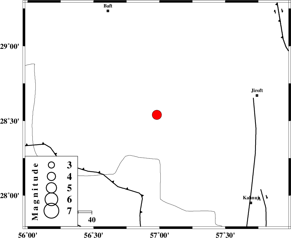
| Location | Lat:28.54 Lon: 56.98 |
| Region | 75 km South-West of Jiroft, Kerman Province |
Nearest Cities |
|
| 22 km South West of Dolatabad, Kerman Province | |
| 24 km North East of Sarkhan, Kerman Province | |
| 50 km North West of Hurpasefid, Kerman Province | |
| 58 km South East of Kashkueyeh, Kerman Province | |
| 59 km North East of Shahmaran, Kerman Province | |
| Depth | 25 km |
| Agency | |
Faults within 150 km: |
|
| MAIN_ZAGROS_R_F (Length: 1106 km) , Distance to epicenter: 60 km | |
| SABZEVARAN_F (Length: 190 km) , Distance to epicenter: 73 km | |
| JIROFT_F (Length: 144 km) , Distance to epicenter: 95 km | |
| Number of Phases | 5 |
| RMS | 0.3 |
| Number of Stations | 4 |
| Error in Latitude | >3.8 km |
| Error in Longitude | 6.8 km |
| Error in Depth | 9.2 km |
Download waveform in seisan format
to download seisan software Click here
to access information about IIEES stations Click here
Amplitude | ||||||||
| UID | Agency | Station | Component | Amplitude | Period | Arrival Time | Proccessing Time | Signal Clip |
| 30893 | IIEES | BNDS | E | 7204.4 | 0.43 | 2004-11-11 20:37:24 | 2006-03-15 11:56:00 | n |
| 30894 | IIEES | BNDS | N | 6580.6 | 0.52 | 2004-11-11 20:37:26 | 2006-03-15 11:56:00 | n |
| 30895 | IIEES | GHIR | N | 1081.4 | 0.57 | 2004-11-11 20:38:57 | 2006-03-15 11:56:00 | n |
| 30896 | IIEES | GHIR | E | 807.2 | 0.73 | 2004-11-11 20:38:57 | 2006-03-15 11:56:00 | n |
Phase | ||||||||||||
| Agency | Station | Component | Phase Type | Phase Quality | First Motion | Observed Arrival Time | Time Residual | Loc. Flag | Input Weight | Distance | Azimuth | |
| IIEES | BNDS | Z | PG | E | 2004-11-11 20:37:05 | -0.4 | y | 150 | 212 | |||
| IIEES | BNDS | N | SG | E | 2004-11-11 20:37:23 | 0.3 | y | 150 | 212 | |||
| IIEES | KRBR | Z | PG | E | 2004-11-11 20:37:07 | 0.1 | y | 161 | 352 | |||
| IIEES | ZHSF | Z | PN | E | 2004-11-11 20:37:36 | 0.1 | y | 388 | 71 | |||
| IIEES | GHIR | Z | PN | E | 2004-11-11 20:37:36 | 0 | y | 393 | 267 | |||