
Magnitude |
:2.7 |
| Date & Time (UTC) | 2005-05-12 01:55:26.6 |
| Date & Time (Local) | 1384/2/22 06:25:26.6 |
| Location | Lat:35.98 Lon: 54.46 |
| Region | |
Nearest Cities |
|
| 23 km South East of Damghan, Semnan Province | |
| 28 km South of Mehmandust, Semnan Province | |
| 28 km East of Amirabad, Semnan Province | |
| 29 km East of Seydabad, Semnan Province | |
| 49 km East of Darvar, Semnan Province | |
| Depth | 14 km |
| Agency | |
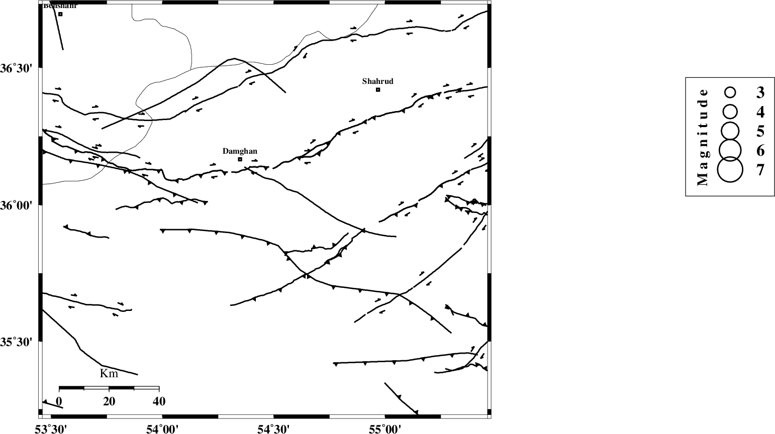
Faults within 150 km: |
|
| ATARI_F (Length: 185 km) , Distance to epicenter: 26 km | |
| DAMGHAN_F (Length: 95 km) , Distance to epicenter: 32 km | |
| MEYAMEY_F (Length: 141 km) , Distance to epicenter: 45 km | |
| Number of Phases | 7 |
| RMS | 0.2 |
| Number of Stations | 5 |
| Error in Latitude | >4.6 km |
| Error in Longitude | 8.9 km |
| Error in Depth | 8.8 km |
Download waveform in seisan format
to download seisan software Click here
to access information about IIEES stations Click here
Amplitude | ||||||||
| UID | Agency | Station | Component | Amplitude | Period | Arrival Time | Proccessing Time | Signal Clip |
| 5720 | IIEES | DAMV | N | 75.3 | 0.48 | 2005-05-12 01:56:43 | 2005-07-05 05:11:00 | n |
| 5721 | IIEES | NASN | N | 13.9 | 0.36 | 2005-05-12 01:57:30 | 2005-07-05 05:11:00 | n |
| 5722 | IIEES | ASAO | N | 6.8 | 0.52 | 2005-05-12 01:57:36 | 2005-07-05 05:11:00 | n |
Phase | ||||||||||||
| Agency | Station | Component | Phase Type | Phase Quality | First Motion | Observed Arrival Time | Time Residual | Loc. Flag | Input Weight | Distance | Azimuth | |
| IIEES | DAMV | Z | PG | E | 2005-05-12 01:56:03 | -0.2 | y | 228 | 261 | |||
| IIEES | THR | Z | PN | E | 2005-05-12 01:56:11 | -0.1 | y | 300.6 | 269 | |||
| IIEES | THR | N | SG | E | 2005-05-12 01:56:51 | 0.2 | y | 300.6 | 269 | |||
| IIEES | THKV | Z | PN | E | 2005-05-12 01:56:14 | 0.1 | y | 322.9 | 270 | |||
| IIEES | NASN | Z | PN | E | 2005-05-12 01:56:22 | 0.2 | y | 383.9 | 204 | |||
| IIEES | NASN | E | SG | E | 2005-05-12 01:57:14 | 0 | y | 383.9 | 204 | |||
| IIEES | ASAO | Z | PN | E | 2005-05-12 01:56:28 | -0.3 | y | 433.3 | 250 | |||