
Magnitude |
:4 |
| Date & Time (UTC) | 2005-01-10 18:38:28.1 |
| Date & Time (Local) | 1383/10/21 22:08:28.1 |
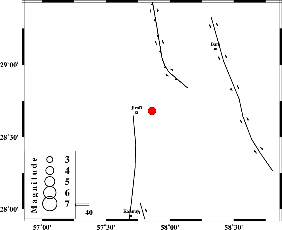
| Location | Lat:28.68 Lon: 57.86 |
| Region | |
Nearest Cities |
|
| 9 km North of Dolatabad, Kerman Province | |
| 10 km of Mijan-e sofla, Kerman Province | |
| 12 km North East of Jiroft, Kerman Province | |
| 18 km South of Saghdar, Kerman Province | |
| 19 km North East of Khatunabad-e zangian, Kerman Province | |
| Depth | 14 km |
| Agency | |
Faults within 150 km: |
|
| SABZEVARAN_F (Length: 190 km) , Distance to epicenter: 15 km | |
| GOWK_F (Length: 152 km) , Distance to epicenter: 33 km | |
| BAM_F (Length: 118 km) , Distance to epicenter: 67 km | |
| Number of Phases | 4 |
| RMS | 0.1 |
| Number of Stations | 4 |
| Error in Latitude | >3.2 km |
| Error in Longitude | 3.9 km |
| Error in Depth | 6.8 km |
Download waveform in seisan format
to download seisan software Click here
to access information about IIEES stations Click here
Amplitude | ||||||||
| UID | Agency | Station | Component | Amplitude | Period | Arrival Time | Proccessing Time | Signal Clip |
| 4448 | IIEES | KRBR | E | 3417.3 | 0.14 | 2005-01-10 18:39:24 | 2005-07-05 05:11:00 | n |
| 4449 | IIEES | KRBR | N | 3735.3 | 0.48 | 2005-01-10 18:39:25 | 2005-07-05 05:11:00 | n |
| 4450 | IIEES | BNDS | E | 579.1 | 0.52 | 2005-01-10 18:39:34 | 2005-07-05 05:11:00 | n |
| 4451 | IIEES | BNDS | N | 592.5 | 0.33 | 2005-01-10 18:39:41 | 2005-07-05 05:11:00 | n |
Phase | ||||||||||||
| Agency | Station | Component | Phase Type | Phase Quality | First Motion | Observed Arrival Time | Time Residual | Loc. Flag | Input Weight | Distance | Azimuth | |
| IIEES | KRBR | Z | PG | E | 2005-01-10 18:38:57 | -0.1 | y | 179.3 | 324 | |||
| IIEES | BNDS | Z | PG | E | 2005-01-10 18:39:03 | -0.1 | y | 218.6 | 230 | |||
| IIEES | ZHSF | Z | PN | E | 2005-01-10 18:39:13 | 0 | y | 301.7 | 69 | |||
| IIEES | GHIR | Z | PN | E | 2005-01-10 18:39:35 | 0.2 | y | 479.2 | 266 | |||