
Magnitude |
:3.3 |
| Date & Time (UTC) | 2005-01-03 19:07:41.6 |
| Date & Time (Local) | 1383/10/14 22:37:41.6 |
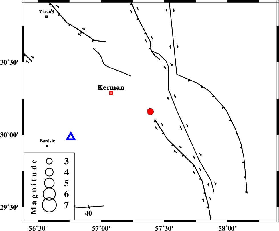
| Location | Lat:30.16 Lon: 57.39 |
| Region | |
Nearest Cities |
|
| 15 km North East of Langar, Kerman Province | |
| 16 km North East of Mahan, Kerman Province | |
| 17 km West of Sirch, Kerman Province | |
| 18 km North East of Mohiabad, Kerman Province | |
| 23 km North East of Maheabad, Kerman Province | |
| Depth | 25 km |
| Agency | |
Faults within 150 km: |
|
| GOWK_F (Length: 152 km) , Distance to epicenter: 7 km | |
| GOLBAF_SIRCH_F (Length: 114 km) , Distance to epicenter: 21 km | |
| CHATRUD_F (Length: 37 km) , Distance to epicenter: 31 km | |
| Number of Phases | 4 |
| RMS | 0 |
| Number of Stations | 3 |
| Error in Latitude | >11.7 km |
| Error in Longitude | 5.5 km |
| Error in Depth | 14.1 km |
Download waveform in seisan format
to download seisan software Click here
to access information about IIEES stations Click here
Amplitude | ||||||||
| UID | Agency | Station | Component | Amplitude | Period | Arrival Time | Proccessing Time | Signal Clip |
| 4395 | IIEES | KRBR | N | 2326.2 | 0.12 | 2005-01-03 19:08:03 | 2005-07-05 05:11:00 | n |
| 4396 | IIEES | KRBR | E | 2282.6 | 0.2 | 2005-01-03 19:08:07 | 2005-07-05 05:11:00 | n |
| 4397 | IIEES | ZHSF | N | 80.8 | 0.48 | 2005-01-03 19:09:14 | 2005-07-05 05:11:00 | n |
| 4398 | IIEES | ZHSF | E | 50 | 0.52 | 2005-01-03 19:09:16 | 2005-07-05 05:11:00 | n |
Phase | ||||||||||||
| Agency | Station | Component | Phase Type | Phase Quality | First Motion | Observed Arrival Time | Time Residual | Loc. Flag | Input Weight | Distance | Azimuth | |
| IIEES | KRBR | Z | PG | I | 2005-01-03 19:07:53 | 0 | y | 63.47 | 252 | |||
| IIEES | KRBR | N | SG | E | 2005-01-03 19:08:01 | 0 | y | 63.47 | 252 | |||
| IIEES | ZHSF | Z | PN | E | 2005-01-03 19:08:29 | 0 | y | 332.8 | 100 | |||
| IIEES | NASN | Z | PN | E | 2005-01-03 19:08:53 | 0 | y | 524.5 | 305 | |||