
Magnitude |
:3.4 |
| Date & Time (UTC) | 2005-06-18 10:40:17.5 |
| Date & Time (Local) | 1384/3/28 15:10:17.5 |
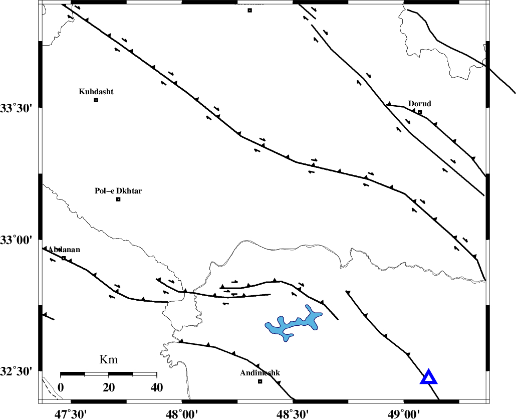
| Location | Lat:33.14 Lon: 48.37 |
| Region | |
Nearest Cities |
|
| 28 km South of Daraei, Lorestan Province | |
| 33 km South East of Shoorab-e sofla, Lorestan Province | |
| 35 km South of Badrabad-e sofla, Lorestan Province | |
| 36 km South of Kamalvand-e gholamali, Lorestan Province | |
| 36 km South West of Emanabad, Lorestan Province | |
| Depth | 35 km |
| Agency | |
Faults within 150 km: |
|
| HZF4 (Length: 492 km) , Distance to epicenter: 28 km | |
| BALARUD_F_Z2 (Length: 58 km) , Distance to epicenter: 37 km | |
| BALARUD_F_Z3 (Length: 53 km) , Distance to epicenter: 41 km | |
| Number of Phases | 6 |
| RMS | 0 |
| Number of Stations | 5 |
| Error in Latitude | >0.9 km |
| Error in Longitude | 2 km |
| Error in Depth | 3.2 km |
Download waveform in seisan format
to download seisan software Click here
to access information about IIEES stations Click here
Amplitude | ||||||||
| UID | Agency | Station | Component | Amplitude | Period | Arrival Time | Proccessing Time | Signal Clip |
| 4288 | IIEES | ASAO | N | 423.6 | 0.61 | 2005-06-18 10:41:24 | 2005-07-05 05:11:00 | n |
| 4289 | IIEES | SNGE | N | 208.5 | 0.51 | 2005-06-18 10:41:35 | 2005-07-05 05:11:00 | n |
Phase | ||||||||||||
| Agency | Station | Component | Phase Type | Phase Quality | First Motion | Observed Arrival Time | Time Residual | Loc. Flag | Input Weight | Distance | Azimuth | |
| IIEES | SHGO | Z | PG | E | 2005-06-18 10:40:37 | 0 | y | 121.6 | 161 | |||
| IIEES | SHGR | Z | PG | E | 2005-06-18 10:40:37 | 0 | y | 121.6 | 161 | |||
| IIEES | ASAO | Z | PG | E | 2005-06-18 10:40:52 | -0.1 | y | 218.4 | 44 | |||
| IIEES | ASAO | N | SG | E | 2005-06-18 10:41:18 | 0 | y | 218.4 | 44 | |||
| IIEES | SNGE | Z | PG | E | 2005-06-18 10:40:55 | 0 | y | 236.1 | 337 | |||
| IIEES | NASN | Z | PN | E | 2005-06-18 10:41:15 | 0 | y | 416.4 | 94 | |||