
Magnitude |
:3 |
| Date & Time (UTC) | 2005-06-18 00:52:01.7 |
| Date & Time (Local) | 1384/3/28 05:22:01.7 |
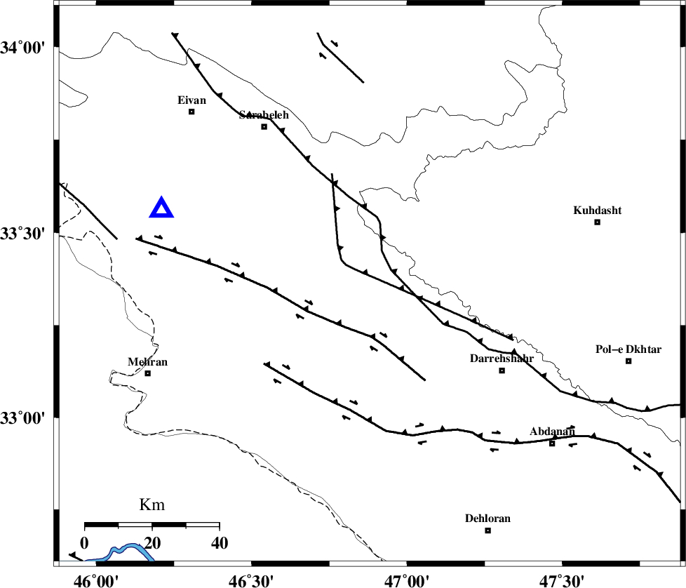
| Location | Lat:33.36 Lon: 46.88 |
| Region | |
Nearest Cities |
|
| 14 km North of Badreh, Ilam Province | |
| 15 km North of Meymeh, Ilam Province | |
| 33 km North East of Gonbad-e pirmohammad, Ilam Province | |
| 35 km South of Belaveh tare-e sofla, Ilam Province | |
| 36 km South East of Sartang-e malehmaran, Ilam Province | |
| Depth | 14 km |
| Agency | |
Faults within 150 km: |
|
| MFF7 (Length: 99 km) , Distance to epicenter: 31 km | |
| MFF6 (Length: 144 km) , Distance to epicenter: 38 km | |
| ZFF4 (Length: 128 km) , Distance to epicenter: 49 km | |
| Number of Phases | 6 |
| RMS | 0.4 |
| Number of Stations | 5 |
| Error in Latitude | >12 km |
| Error in Longitude | 26.7 km |
| Error in Depth | 14.2 km |
Download waveform in seisan format
to download seisan software Click here
to access information about IIEES stations Click here
Amplitude | ||||||||
| UID | Agency | Station | Component | Amplitude | Period | Arrival Time | Proccessing Time | Signal Clip |
| 4277 | IIEES | SNGE | N | 116.3 | 0.68 | 2005-06-18 00:53:06 | 2005-07-05 05:11:00 | n |
| 4278 | IIEES | SHGO | N | 176.3 | 0.75 | 2005-06-18 00:53:22 | 2005-07-05 05:11:00 | n |
| 4279 | IIEES | ASAO | N | 47.6 | 0.6 | 2005-06-18 00:53:48 | 2005-07-05 05:11:00 | n |
Phase | ||||||||||||
| Agency | Station | Component | Phase Type | Phase Quality | First Motion | Observed Arrival Time | Time Residual | Loc. Flag | Input Weight | Distance | Azimuth | |
| IIEES | SNGE | Z | PG | E | 2005-06-18 00:52:33 | -0.4 | y | 197.3 | 12 | |||
| IIEES | SHGR | Z | PG | E | 2005-06-18 00:52:38 | 0.1 | y | 227.1 | 127 | |||
| IIEES | SHGO | Z | PG | E | 2005-06-18 00:52:38 | 0.1 | y | 227.1 | 127 | |||
| IIEES | SHGR | N | SG | E | 2005-06-18 00:53:05 | -0.3 | y | 227.1 | 127 | |||
| IIEES | ASAO | Z | PN | E | 2005-06-18 00:52:49 | 0.6 | y | 319.3 | 65 | |||
| IIEES | DAMV | Z | PN | E | 2005-06-18 00:53:15 | -0.1 | y | 531.1 | 60 | |||