
Magnitude |
:3.5 |
| Date & Time (UTC) | 2005-07-08 12:27:24.0 |
| Date & Time (Local) | 1384/4/17 16:57:24.0 |
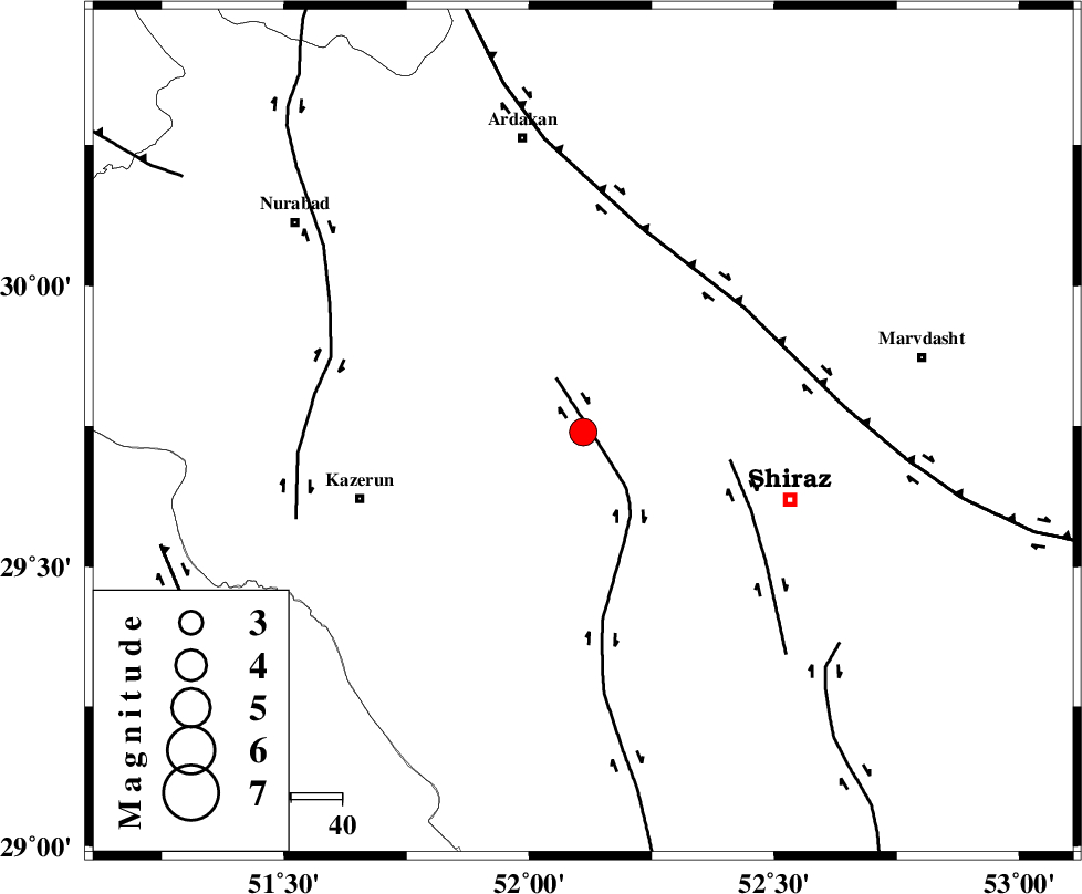
| Location | Lat:29.74 Lon: 52.11 |
| Region | |
Nearest Cities |
|
| 14 km North West of Khanehzanian, Fars Province | |
| 28 km North of Richi, Fars Province | |
| 29 km North East of Kalani, Fars Province | |
| 37 km South West of Baiza, Fars Province | |
| 40 km East of Nodan, Fars Province | |
| Depth | 18 km |
| Agency | |
Faults within 150 km: |
|
| KAREBASS_F (Length: 98 km) , Distance to epicenter: 6 km | |
| SABZ_PUSHAN_F_Z3 (Length: 37 km) , Distance to epicenter: 30 km | |
| HZF3 (Length: 197 km) , Distance to epicenter: 40 km | |
| Number of Phases | 6 |
| RMS | 0.1 |
| Number of Stations | 5 |
| Error in Latitude | >3.5 km |
| Error in Longitude | 2.9 km |
| Error in Depth | 8.2 km |
Download waveform in seisan format
to download seisan software Click here
to access information about IIEES stations Click here
Amplitude | ||||||||
| UID | Agency | Station | Component | Amplitude | Period | Arrival Time | Proccessing Time | Signal Clip |
| 9454 | IIEES | GHIR | N | 748.1 | 0.43 | 2005-07-08 12:28:20 | 2006-01-09 11:55:00 | n |
| 9455 | IIEES | KRBR | N | 55.1 | 0.7 | 2005-07-08 12:29:45 | 2006-01-09 11:55:00 | n |
Phase | ||||||||||||
| Agency | Station | Component | Phase Type | Phase Quality | First Motion | Observed Arrival Time | Time Residual | Loc. Flag | Input Weight | Distance | Azimuth | |
| IIEES | GHIR | Z | PG | E | 2005-07-08 12:27:54 | 0 | y | 182 | 152 | |||
| IIEES | NASN | Z | PN | E | 2005-07-08 12:28:14 | 0.2 | y | 346 | 11 | |||
| IIEES | KRBR | Z | PN | E | 2005-07-08 12:28:27 | -0.1 | y | 450 | 85 | |||
| IIEES | KRBR | N | SG | E | 2005-07-08 12:29:29 | 0 | y | 450 | 85 | |||
| IIEES | ASAO | Z | Pn | E | 2005-07-08 12:28:42 | 0 | y | 568 | 340 | |||
| IIEES | SNGE | Z | PN | E | 2005-07-08 12:29:03 | -0.3 | y | 744 | 324 | |||