
Magnitude |
:2.6 |
| Date & Time (UTC) | 2015-11-03 23:20:31.5 |
| Date & Time (Local) | 1394/8/13 02:50:31.5 |
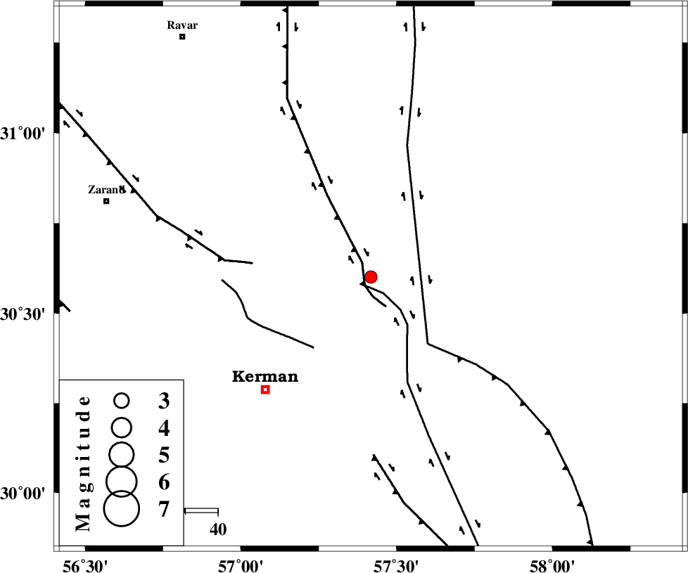
| Location | Lat:30.601 Lon: 57.417 |
| Region | Kerman Province, 48 km North-East of Kerman |
Nearest Cities |
|
| 18 km North East of Dehlulu, Kerman Province | |
| 28 km East of Harjand, Kerman Province | |
| 34 km North West of Shahdad, Kerman Province | |
| 44 km North East of Sarasiyab-e ferangi, Kerman Province | |
| 46 km North West of Estehkam, Kerman Province | |
| Depth | 14 km |
| Agency | |
Faults within 150 km: |
|
| LAKARKUH_F (Length: 138 km) , Distance to epicenter: 3 km | |
| GOLBAF_SIRCH_F (Length: 114 km) , Distance to epicenter: 3 km | |
| NAYBAND_F (Length: 258 km) , Distance to epicenter: 27 km | |
| Number of Phases | 4 |
| RMS | 0 |
| Number of Stations | 3 |
| Error in Latitude | >3.2 km |
| Error in Longitude | 1.5 km |
| Error in Depth | 5.9 km |
Download waveform in seisan format
to download seisan software Click here
to access information about IIEES stations Click here
Amplitude | ||||||||
| UID | Agency | Station | Component | Amplitude | Period | Arrival Time | Proccessing Time | Signal Clip |
| 102193 | IIEES | TABS | N | 18.1 | 0.44 | 2015-11-03 23:22:16 | 2015-11-04 01:05:00 | n |
Phase | ||||||||||||
| Agency | Station | Component | Phase Type | Phase Quality | First Motion | Observed Arrival Time | Time Residual | Loc. Flag | Input Weight | Distance | Azimuth | |
| IIEES | KRBR | Z | Pg | E | 2015-11-03 23:20:47 | -0.01 | y | 93.2 | 223 | |||
| IIEES | TABS | Z | Pn | E | 2015-11-03 23:21:21 | -0.01 | y | 339 | 355 | |||
| IIEES | ZHSF | Z | Pn | E | 2015-11-03 23:21:21 | 0.06 | y | 342 | 108 | |||
| IIEES | ZHSF | N | Sg | E | 2015-11-03 23:22:07 | -0.03 | y | 342 | 108 | |||