
Magnitude |
:2.5 |
| Date & Time (UTC) | 2015-10-18 13:08:34.9 |
| Date & Time (Local) | 1394/7/26 16:38:34.9 |
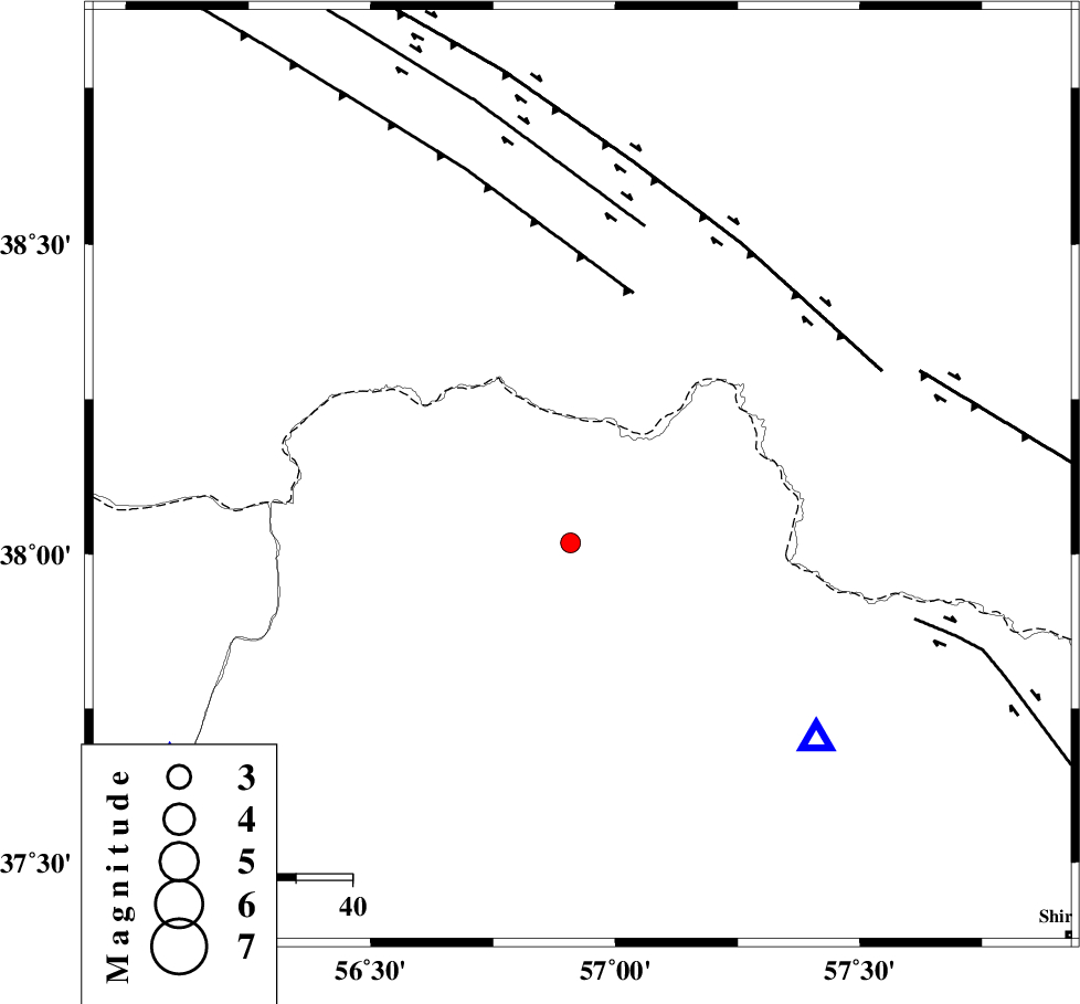
| Location | Lat:38.126 Lon: 56.932 |
| Region | Khorasan(north) Province, 64 km North of Ashkhaneh |
Nearest Cities |
|
| 19 km East of Yekehsoud-e paeen, Khorasan(north) Province | |
| 19 km North of Tangehzar, Khorasan(north) Province | |
| 27 km North West of Raz, Khorasan(north) Province | |
| 53 km North of Pish qaleh, Khorasan(north) Province | |
| 55 km North West of Gifan olia, Khorasan(north) Province | |
| Depth | 10 km |
| Agency | |
Faults within 150 km: |
|
| MAIN_KOPEHDAGH_F1 (Length: 318 km) , Distance to epicenter: 46 km | |
| MAIN_KOPEHDAGH_F2 (Length: 131 km) , Distance to epicenter: 51 km | |
| MAIN_KOPEHDAGH_F3 (Length: 96 km) , Distance to epicenter: 63 km | |
| Number of Phases | 5 |
| RMS | 0.1 |
| Number of Stations | 3 |
| Error in Latitude | >5.5 km |
| Error in Longitude | 1.8 km |
| Error in Depth | 4.1 km |
Download waveform in seisan format
to download seisan software Click here
to access information about IIEES stations Click here
Amplitude | ||||||||
| UID | Agency | Station | Component | Amplitude | Period | Arrival Time | Proccessing Time | Signal Clip |
| 101866 | IIEES | SHRO | E | 32 | 0.65 | 2015-10-18 13:09:55 | 2015-10-19 06:35:00 | n |
Phase | ||||||||||||
| Agency | Station | Component | Phase Type | Phase Quality | First Motion | Observed Arrival Time | Time Residual | Loc. Flag | Input Weight | Distance | Azimuth | |
| IIEES | BJRD | Z | Pg | E | 2015-10-18 13:08:46 | -0.18 | y | 63.2 | 138 | |||
| IIEES | BJRD | N | Sg | E | 2015-10-18 13:08:54 | 0.1 | y | 63.2 | 138 | |||
| IIEES | MRVT | Z | Pg | E | 2015-10-18 13:08:50 | 0.18 | y | 90.4 | 235 | |||
| IIEES | MRVT | N | Sg | E | 2015-10-18 13:09:02 | -0.1 | y | 90.4 | 235 | |||
| IIEES | SHRO | Z | Pn | E | 2015-10-18 13:09:14 | 0 | y | 249 | 199 | |||